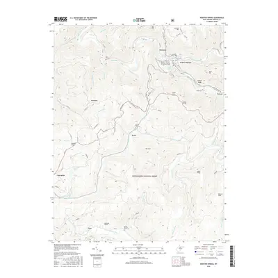
2016 Map of Webster Springs
USGS Topo · Published 2016About this map
The Elk River and Gauley River define the topography of this West Virginia landscape, where the town of Webster Springs sits at the confluence of the Back Fork Elk River and the main branch. The town’s historical identity as a resort destination is tied to the Fork Lick Spring, while its modern infrastructure is noted by the Kenney B. Hamrick Sr. Memorial Bridge. The southern portion of the map is dominated by the Monongahela National Forest, a terrain of high ridges such as Miller Ridge and Hamrick Ridge and deep hollows like Hickman Hollow. Genealogists will find several burial sites including Adam Miller Cem, Woods Cem, and the Sand Run Baptist Church Cem near Bolair. The map also details small mountain settlements like Excelsior, Parcoal, and Dyer, connected by a network of winding roads like Point Mountain RD and Webster RD.
Find a feature on this map
76 named features on this map. Tap any name to fly to it.
Don’t see what you’re looking for? This feature index may not catch every label — zoom into the map to look around manually.
Map Details
Editions of this 2016 Webster Springs Map
This is the sole edition of this map. No revisions or reprints were ever made.
Other maps of this area

1889 · Nicholas
USGS Topo · 1:125,000

1891 · Nicholas
USGS Topo · 1:125,000

1891 · Huntersville
USGS Topo · 1:125,000

1893 · Buckhannon
USGS Topo · 1:125,000

1893 · Sutton
USGS Topo · 1:125,000

1894 · Huntersville
USGS Topo · 1:125,000

1896 · Buckhannon
USGS Topo · 1:125,000

1897 · Buckhannon
USGS Topo · 1:125,000

1901 · Nicholas
USGS Topo · 1:125,000

1908 · Sutton
USGS Topo · 1:48,000
Featured Places
- Webster Springs, Addison (Webster Springs)
- Addison (Webster Springs), WV
- Cherry Falls, WV
- Bolair, WV
- Skidmore Crossing, WV