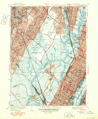
1940 Map of Weehawken
USGS Topo · Published 1950About this map
The Hackensack River and Passaic River dominate this 1940 landscape, carving through the expansive wetlands of Eight Day Swamp and Walden Swamp. The map illustrates a region in heavy industrial and transit transition, where the Pulaski Skyway and Tonnelle Ave cut across the meadows. Local aviation history is centered at the Bendix Airport and the adjacent Bendix Aviation facility, while the intricate rail network includes the Erie RR and the West Shore RR leading to the West Shore Terminal on the Hudson River. Significant civic and institutional landmarks are clustered throughout, including the Hudson County Penitentiary near Snake Hill and numerous burial grounds like St Peters Cem and Fairview Cem, serving the dense populations of Garfield, West New York, and Hackensack.
Find a feature on this map
89 named features on this map. Tap any name to fly to it.
Don’t see what you’re looking for? This feature index may not catch every label — zoom into the map to look around manually.
Map Details
Editions of this 1940 Weehawken Map
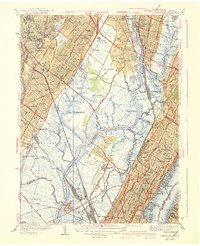
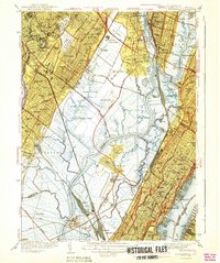
3 editions found
Other maps of this area

1888 · Paterson
USGS Topo · 1:62,500

1889 · Brooklyn
USGS Topo · 1:62,500

1891 · Brooklyn
USGS Topo · 1:62,500

1891 · Harlem
USGS Topo · 1:62,500

1892 · Paterson
USGS Topo · 1:62,500

1897 · Harlem
USGS Topo · 1:62,500

1897 · Brooklyn
USGS Topo · 1:62,500

1898 · Harlem
USGS Topo · 1:62,500

1898 · Staten Island
USGS Topo · 1:62,500

1898 · Brooklyn
USGS Topo · 1:62,500