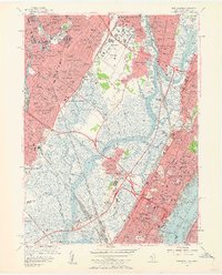
1955 Map of Weehawken
USGS Topo · Published 1962About this map
The Hackensack River and its expansive marshlands dominate this mid-century survey of northeastern New Jersey, revealing a landscape defined by massive rail infrastructure and early aviation. The Teterboro Airport stands at the northern edge, while the south is crisscrossed by major rail networks including Croxton Yards, Secaucus Yards, and the Secaucus Transfer Sta. This industrial backbone serves a dense cluster of communities from Garfield and Hasbrouck Heights down to Union City and Weehawken. Significant religious and civic landmarks are visible throughout, such as the St Michaels Monastery and Holy Rosary Academy. The terrain transitions from the wetland of Eight Day Swamp and Walden Swamp to the high ground of Laurel Hill, all bordered by the bustling waters of the Hudson River and its maritime features like Weehawken Cove.
Find a feature on this map
118 named features on this map. Tap any name to fly to it.
Don’t see what you’re looking for? This feature index may not catch every label — zoom into the map to look around manually.
Map Details
Editions of this 1955 Weehawken Map
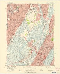
2 editions found
Other maps of this area

1888 · Paterson
USGS Topo · 1:62,500

1889 · Brooklyn
USGS Topo · 1:62,500

1891 · Brooklyn
USGS Topo · 1:62,500

1891 · Harlem
USGS Topo · 1:62,500

1892 · Paterson
USGS Topo · 1:62,500

1897 · Harlem
USGS Topo · 1:62,500

1897 · Brooklyn
USGS Topo · 1:62,500

1898 · Harlem
USGS Topo · 1:62,500

1898 · Staten Island
USGS Topo · 1:62,500

1898 · Brooklyn
USGS Topo · 1:62,500