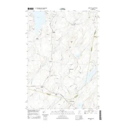
2014 Map of Weeks Mills
USGS Topo · Published 2014About this map
Weeks Mills and the surrounding townships of Kennebec County are defined by the winding course of the West Branch Sheepscot River and its various tributaries. This 2014 survey documents a network of rural hamlets including Windsorville, South Windsor, and Coopers Mills at the southern edge of the quadrangle. For genealogists, the map is remarkably dense with burial grounds, ranging from the Dyer Hill Cem near North Windsor to the Blackman Cem tucked away toward the west.
Find a feature on this map
116 named features on this map. Tap any name to fly to it.
Don’t see what you’re looking for? This feature index may not catch every label — zoom into the map to look around manually.
Map Details
Editions of this 2014 Weeks Mills Map
This is the sole edition of this map. No revisions or reprints were ever made.
Other maps of this area

1893 · Vassalboro
USGS Topo · 1:62,500

1893 · Wiscasset
USGS Topo · 1:62,500

1898 · Vassalboro
USGS Topo · 1:62,500

1913 · Waldoboro
USGS Topo · 1:48,000

1915 · Waldoboro
USGS Topo · 1:62,500

1916 · Liberty
USGS Topo · 1:62,500

1941 · Waldoboro
USGS Topo · 1:62,500

1941 · Vassalboro
USGS Topo · 1:62,500

1942 · Liberty
USGS Topo · 1:62,500

1943 · Vassalboro
USGS Topo · 1:62,500