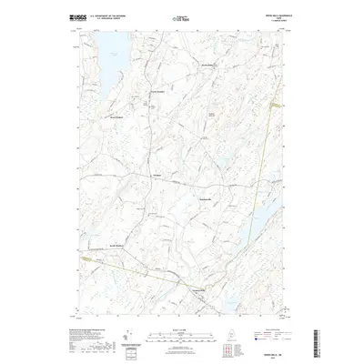
2021 Map of Weeks Mills
USGS Topo · Published 2021About this map
Weeks Mills and the surrounding hamlets of Windsor comprise a landscape defined by the winding course of the West Branch Sheepscot River and its numerous tributaries. This 2021 survey illustrates a quintessential Maine rural pattern where small settlements like Windsorville and Coopers Mills are situated along major local thoroughfares such as the Augusta Rockland Rd. The topographical data highlights the relationship between the drainage basins of Threemile Pond and the Sheepscot River, showing how early development followed these watercourses.
Find a feature on this map
115 named features on this map. Tap any name to fly to it.
Don’t see what you’re looking for? This feature index may not catch every label — zoom into the map to look around manually.
Map Details
Editions of this 2021 Weeks Mills Map
This is the sole edition of this map. No revisions or reprints were ever made.
Other maps of this area

1893 · Vassalboro
USGS Topo · 1:62,500

1893 · Wiscasset
USGS Topo · 1:62,500

1898 · Vassalboro
USGS Topo · 1:62,500

1913 · Waldoboro
USGS Topo · 1:48,000

1915 · Waldoboro
USGS Topo · 1:62,500

1916 · Liberty
USGS Topo · 1:62,500

1941 · Waldoboro
USGS Topo · 1:62,500

1941 · Vassalboro
USGS Topo · 1:62,500

1942 · Liberty
USGS Topo · 1:62,500

1943 · Vassalboro
USGS Topo · 1:62,500