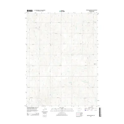
2014 Map of Weeping Water NE
USGS Topo · Published 2014About this map
The rolling agricultural lands of Cass County are defined by a strict section-line road grid and a branching network of creek drainage. The landscape is primarily shaped by Eightmile Cr and Cedar Cr, which flow through the dissected plains alongside several named tributaries like Bachelor Br and the N Br Weeping Water Cr. This rural area maintains its 20th-century agrarian character, evidenced by the scattered farmsteads and the private Nolte Farms Airport located east of 66th St.
Find a feature on this map
25 named features on this map. Tap any name to fly to it.
Don’t see what you’re looking for? This feature index may not catch every label — zoom into the map to look around manually.
Map Details
Editions of this 2014 Weeping Water NE Map
This is the sole edition of this map. No revisions or reprints were ever made.
Other maps of this area

1893 · Fremont
USGS Topo · 1:125,000

1896 · Fremont
USGS Topo · 1:125,000

1903 · Weeping Water
USGS Topo · 1:125,000

1929 · Weeping Water
USGS Topo · 1:125,000

1935 · Nehawka
USGS Topo · 1:48,000

1940 · Nehawka
USGS Topo · 1:62,500

1954 · Omaha
USGS Topo · 1:250,000

1955 · Fremont
USGS Topo · 1:250,000

1955 · Nebraska City
USGS Topo · 1:250,000

1955 · Lincoln
USGS Topo · 1:250,000