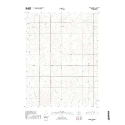
2017 Map of Weeping Water NE
USGS Topo · Published 2017About this map
Agricultural land and undulating terrain define this region of Cass County, which is partitioned by a strictly defined grid of rural roads and section lines. Notable watercourses including Cedar Cr and Bachelor Br carve through the landscape, alongside the Jameson Reservoir which serves as a significant hydrologic feature in the south-central portion of the map. The human footprint is characterized by established farmsteads and specialized sites such as the Nolte Farms Airport on the eastern edge. Local history and genealogical interest are found in the naming conventions of the road network, with routes like Church Rd, Mill Rd, and Red Barn Rd suggesting historical landmarks and community gathering points. The drainage patterns of Eightmile Cr and the N Br Weeping Water Cr further reveal the natural topography that has influenced settlement patterns in this part of Nebraska.
Find a feature on this map
32 named features on this map. Tap any name to fly to it.
Don’t see what you’re looking for? This feature index may not catch every label — zoom into the map to look around manually.
Map Details
Editions of this 2017 Weeping Water NE Map
This is the sole edition of this map. No revisions or reprints were ever made.
Other maps of this area

1893 · Fremont
USGS Topo · 1:125,000

1896 · Fremont
USGS Topo · 1:125,000

1903 · Weeping Water
USGS Topo · 1:125,000

1929 · Weeping Water
USGS Topo · 1:125,000

1935 · Nehawka
USGS Topo · 1:48,000

1940 · Nehawka
USGS Topo · 1:62,500

1954 · Omaha
USGS Topo · 1:250,000

1955 · Fremont
USGS Topo · 1:250,000

1955 · Nebraska City
USGS Topo · 1:250,000

1955 · Lincoln
USGS Topo · 1:250,000