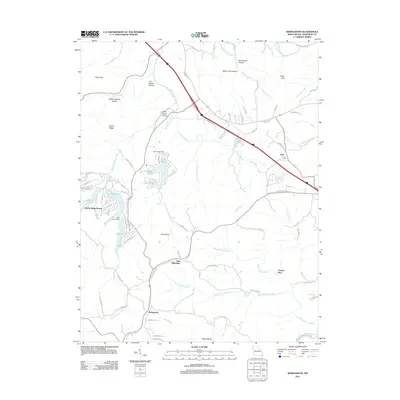
2021 Map of Weingarten
USGS Topo · Published 2021About this map
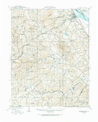
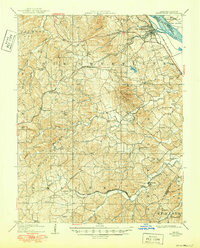
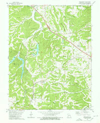
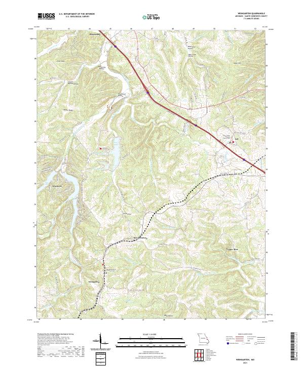
New Offenburg and Weingarten anchor a landscape defined by rolling hollows and creek bottoms in this Ste. Genevieve County region. The terrain is deeply carved by water, featuring distinctive local names such as Moonshine Hollow, Pile Driver Hollow, and Siebert Bottom Hollow. Settlement patterns follow the winding course of Establishment Creek and its many tributaries, like Big Bottom Cr and Flint Bottom Cr. This modern survey illustrates the persistent rural character of these communities, where genealogy researchers will find the Saint Joseph Catholic Church Cem near Zell and Our Lady Help Of Christians Cem further south. The map also documents the transition from small rural clusters to newer residential developments such as Grayhawk near Lake Ski, while naming legacy industrial sites like Copper Mine near Hogg Cr.
Find a feature on this map
95 named features on this map. Tap any name to fly to it.
Don’t see what you’re looking for? This feature index may not catch every label — zoom into the map to look around manually.
Map Details
Editions of this 2021 Weingarten Map
This is the sole edition of this map. No revisions or reprints were ever made.
Historical Maps of Rocky Ridge Ranch Through Time
7 maps found