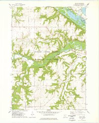
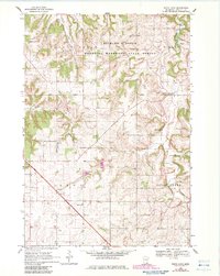
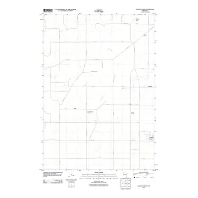
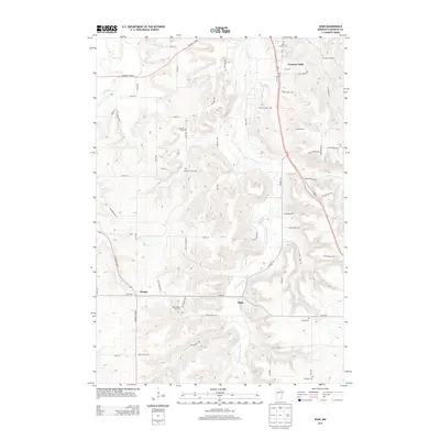
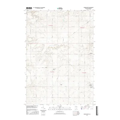
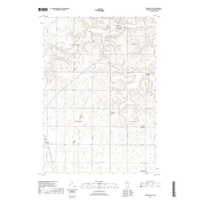
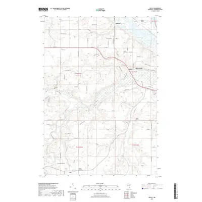
1974 Map of Welch
USGS Topo · Published 1978About this map
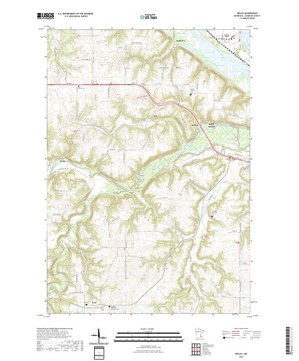
The Cannon River carves a deep valley through this landscape, marking the northern boundary of the Richard J Dorer Memorial Hardwood State Forest. Near the settlement of Welch, the river's path is flanked by industrial and recreational features, including a Gaging Station and Ski Lifts. To the north, the terrain transitions into the backwaters of the Mississippi, defined by an intricate network of sloughs and lakes such as Indian Slough, Goose Lake, and Wildcat Lake.
Find a feature on this map
37 named features on this map. Tap any name to fly to it.
Don’t see what you’re looking for? This feature index may not catch every label — zoom into the map to look around manually.
Map Details
Editions of this 1974 Welch Map
This is the sole edition of this map. No revisions or reprints were ever made.
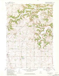
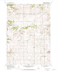
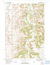
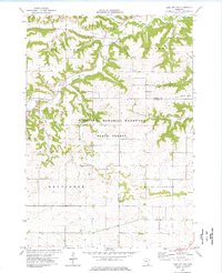
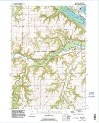
Historical Maps of Red Wing Through Time
37 maps found
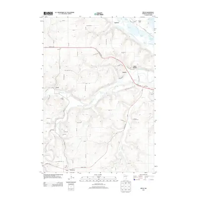
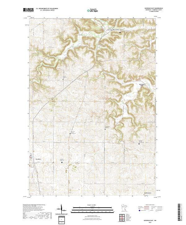
1968 Goodhue East
Goodhue County, MN
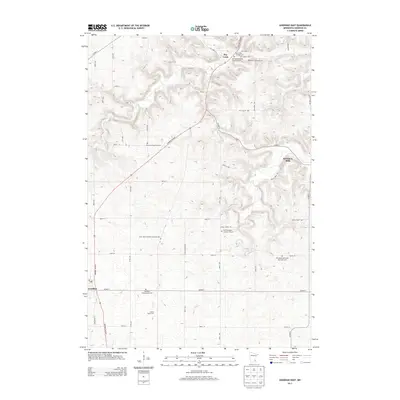
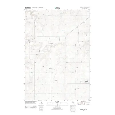
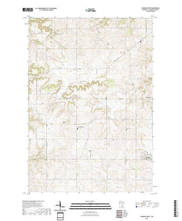
1968 Goodhue West
Goodhue County, MN
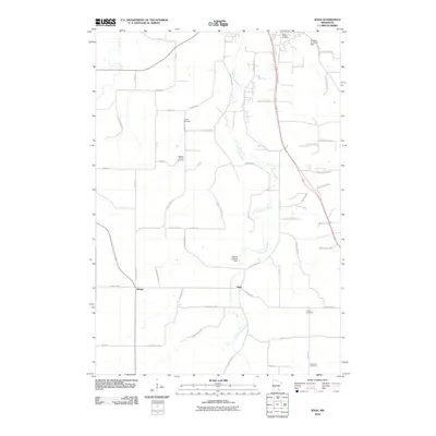
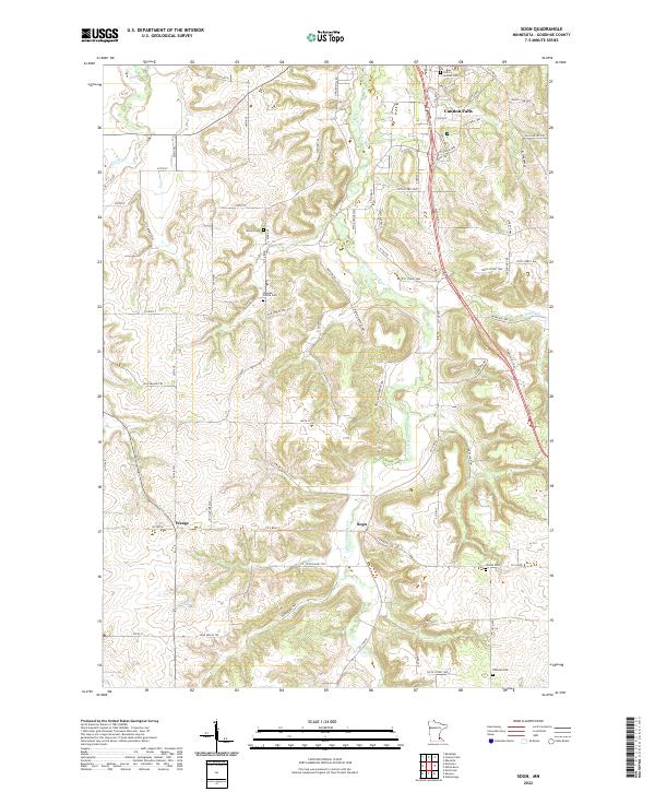
1968 Sogn
Goodhue County, MN
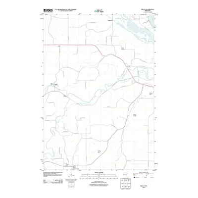
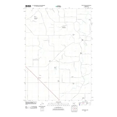
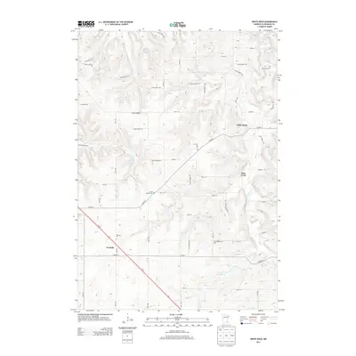
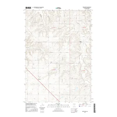
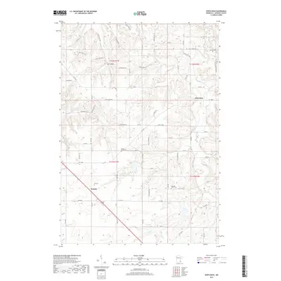
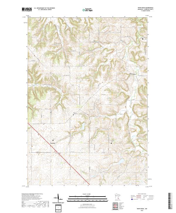
1968 White Rock
Goodhue County, MN
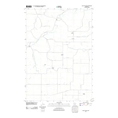
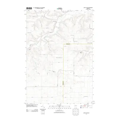
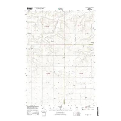
1974 Lake City NW
Goodhue County, MN
1974 Welch
Goodhue County, MN
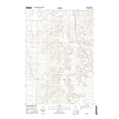
1991 Welch
Goodhue County, MN
2010 Goodhue East
Goodhue County, MN
2010 Goodhue West
Goodhue County, MN
2010 Lake City NW
Goodhue County, MN
2010 Sogn
Goodhue County, MN
2010 Welch
Goodhue County, MN
2010 White Rock
Goodhue County, MN
2013 Goodhue East
Goodhue County, MN
2013 Goodhue West
Goodhue County, MN
2013 Lake City NW
Goodhue County, MN
2013 Sogn
Goodhue County, MN
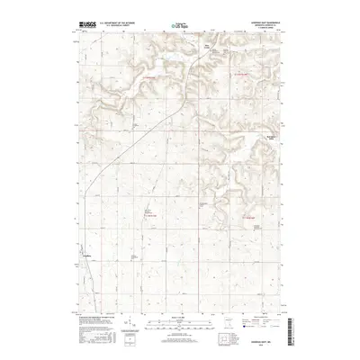
2013 Welch
Goodhue County, MN
2013 White Rock
Goodhue County, MN
2016 Goodhue East
Goodhue County, MN
2016 Goodhue West
Goodhue County, MN
2016 Lake City NW
Goodhue County, MN
2016 Sogn
Goodhue County, MN

2016 Welch
Goodhue County, MN
2016 White Rock
Goodhue County, MN
2019 Goodhue East
Goodhue County, MN
2019 Goodhue West
Goodhue County, MN
2019 Lake City NW
Goodhue County, MN
2019 Sogn
Goodhue County, MN
2019 Welch
Goodhue County, MN
2019 White Rock
Goodhue County, MN
2022 Goodhue East
Goodhue County, MN
2022 Goodhue West
Goodhue County, MN

2022 Lake City NW
Goodhue County, MN
2022 Sogn
Goodhue County, MN
2022 Welch
Goodhue County, MN
2022 White Rock
Goodhue County, MN