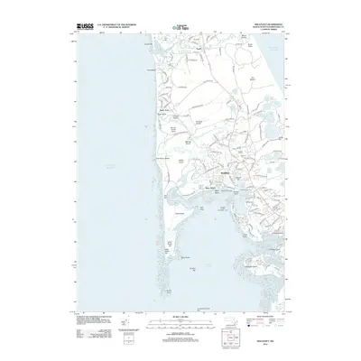
2012 Map of Wellfleet
USGS Topo · Published 2012About this map
Wellfleet and Truro dominate this coastal survey of Cape Cod's inner arm, where the complex geography of the Herring River estuary meets the protected waters of Wellfleet Harbor. The landscape is defined by its glacial heritage, featuring numerous kettle ponds such as Gull Pond, Slough Pond, and Horseleech Pond clustered to the east, while the western shore is shaped by dynamic coastal features like The Gut, Great Island, and the long reach of Jeremy Point. Local history is anchored by the maritime infrastructure of the Wellfleet Town Pier and navigation aids like Mayo Beach Light.
Find a feature on this map
144 named features on this map. Tap any name to fly to it.
Don’t see what you’re looking for? This feature index may not catch every label — zoom into the map to look around manually.
Map Details
Editions of this 2012 Wellfleet Map
This is the sole edition of this map. No revisions or reprints were ever made.
Other maps of this area

1887 · Wellfleet
USGS Topo · 1:62,500

1887 · Provincetown
USGS Topo · 1:62,500

1889 · Provincetown
USGS Topo · 1:62,500

1889 · Wellfleet
USGS Topo · 1:62,500

1893 · Wellfleet
USGS Topo · 1:62,500

1898 · Provincetown
USGS Topo · 1:62,500

1942 · Cape Cod Bay
USGS Topo · 1:125,000

1942 · Nauset
USGS Topo · 1:125,000

1944 · Orleans
USGS Topo · 1:31,680

1944 · Provincetown
USGS Topo · 1:31,680