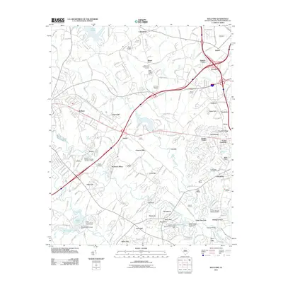
2011 Map of Wellford
USGS Topo · Published 2011About this map
North Tyger River and Middle Tyger River define the industrial and agricultural landscape of this Spartanburg County region as it appeared in the early 21st century. The map highlights the area's textile heritage through landmarks like Jackson Mill, Fairmont Mills, and the Startex Mill Pond Number One Dam, which once supported the local economy. Residential clusters such as Startex, Wellford, and Fairmont are interspersed with numerous historic burial grounds, including the Penney-McMillian Cemetery and Nazareth Cemetery. The topography is shaped by water bodies like Lake Cooley and Shoals Lake, while the intersection of modern interstate travel at Pinnacle Heights contrasts with older rural routes like the Old Greenville Hwy. This survey provides a clear view of the transition between established mill towns and modern suburban development in the Upstate.
Find a feature on this map
236 named features on this map. Tap any name to fly to it.
Don’t see what you’re looking for? This feature index may not catch every label — zoom into the map to look around manually.
Map Details
Editions of this 2011 Wellford Map
This is the sole edition of this map. No revisions or reprints were ever made.
Other maps of this area

1907 · Saluda
USGS Topo · 1:125,000

1935 · Greer
USGS Topo · 1:48,000

1938 · Greer
USGS Topo · 1:62,500

1941 · Spartanburg
USGS Topo · 1:250,000

1947 · Spartanburg
USGS Topo · 1:62,500

1949 · Spartanburg
USGS Topo · 1:24,000

1949 · Spartanburg
USGS Topo · 1:62,500

1953 · Spartanburg
USGS Topo · 1:250,000

1953 · Charlotte
USGS Topo · 1:250,000

1954 · Charlotte
USGS Topo · 1:250,000