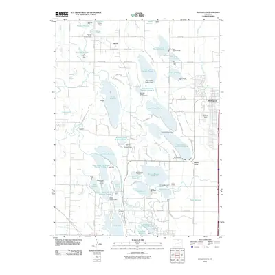
2010 Map of Wellington
USGS Topo · Published 2010About this map
The town of Wellington and the rural community of Waverly sit at the center of an intricate agricultural and industrial landscape on the northern Colorado plains. This 2010 survey reveals a complex network of water management, defined by numerous irrigation systems like the Larimer County Canal and a dense concentration of reservoirs, including Douglas Reservoir, Wasson Reservoir, and the North Poudre Reservoir series. These artificial lakes, many paired with their respective dams, illustrate the critical role of water storage in supporting the regional economy.
Find a feature on this map
119 named features on this map. Tap any name to fly to it.
Don’t see what you’re looking for? This feature index may not catch every label — zoom into the map to look around manually.
Map Details
Editions of this 2010 Wellington Map
This is the sole edition of this map. No revisions or reprints were ever made.
Other maps of this area

1906 · Fort Collins
USGS Topo · 1:62,500

1907 · Livermore
USGS Topo · 1:125,000

1908 · Fort Collins
USGS Topo · 1:62,500

1908 · Eaton
USGS Topo · 1:125,000

1909 · Livermore
USGS Topo · 1:125,000

1910 · Eaton
USGS Topo · 1:125,000

1954 · Greeley
USGS Topo · 1:250,000

1957 · Greeley
USGS Topo · 1:250,000

1958 · Greeley
USGS Topo · 1:250,000

1960 · Livermore
USGS Topo · 1:24,000