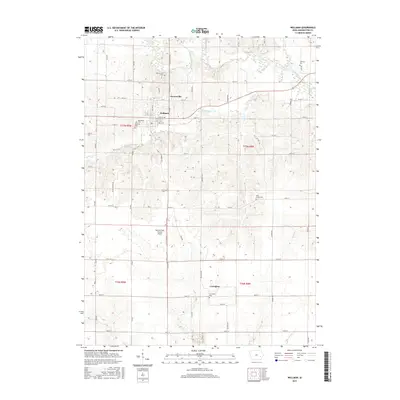
2015 Map of Wellman
USGS Topo · Published 2015About this map
Wellman serves as the primary hub of this Washington County landscape, surrounded by a dense network of rural settlements and family burial grounds. The agricultural character of the region is defined by the winding course of the English River and its tributaries, including Smith Cr and Lime Cr. Genealogists will find significant value in the distribution of local cemeteries, from the centrally located Wellman Cem and Mennonite Cem to outlying sites like Wassonville Cem and Coffman Cem. Smaller historical footprints are preserved at Daytonville and Lexington, while the modern utility of the land is noted by the Murphy Field Private Airport. The township boundaries of t77n r9w and t76n r8w provide a clear framework for tracing property records and family farmsteads across this well-watered prairie terrain.
Find a feature on this map
56 named features on this map. Tap any name to fly to it.
Don’t see what you’re looking for? This feature index may not catch every label — zoom into the map to look around manually.
Map Details
Editions of this 2015 Wellman Map
This is the sole edition of this map. No revisions or reprints were ever made.
Other maps of this area

1891 · Oxford
USGS Topo · 1:62,500

1891 · Iowa City
USGS Topo · 1:62,500

1894 · Oxford
USGS Topo · 1:62,500

1903 · Fairfax
USGS Topo · 1:125,000

1938 · Iowa City
USGS Topo · 1:62,500

1958 · Davenport
USGS Topo · 1:250,000

1961 · Davenport
USGS Topo · 1:250,000

1962 · Davenport
USGS Topo · 1:250,000

1965 · Williamstown
USGS Topo · 1:24,000

1969 · Kalona
USGS Topo · 1:24,000