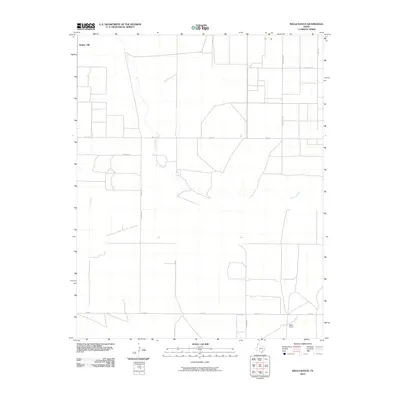
2010 Map of Wells Ranch
USGS Topo · Published 2010About this map
Carrizo Creek winds through this section of the Texas Panhandle, defining the subtle drainage patterns of a landscape dominated by ranching and rural infrastructure. The map depicts the sparse but intentional layout of Hartley County in the early 21st century, where the Wells Ranch and Bunker Hill represent key points of human occupation. A rigid grid of transportation corridors, including Telephone Rd and Fm 1727, facilitates movement across the open plains, connecting isolated homesteads and grazing lands. The presence of numerous named thoroughfares such as Parker Rd and Newson Rd highlights the importance of road access in this expansive environment. This survey captures a moment in the region's contemporary history, where traditional land use continues to shape the character of the High Plains.
Find a feature on this map
12 named features on this map. Tap any name to fly to it.
Don’t see what you’re looking for? This feature index may not catch every label — zoom into the map to look around manually.
Map Details
Editions of this 2010 Wells Ranch Map
This is the sole edition of this map. No revisions or reprints were ever made.
Other maps of this area

1954 · Tucumcari
USGS Topo · 1:250,000

1954 · Dalhart
USGS Topo · 1:250,000

1958 · Tucumcari
USGS Topo · 1:250,000

1958 · Dalhart
USGS Topo · 1:250,000

1962 · Dalhart
USGS Topo · 1:250,000

1971 · Syndicate Hills
USGS Topo · 1:24,000

1971 · Beck Ranch
USGS Topo · 1:24,000

1973 · Wharton Ranch
USGS Topo · 1:24,000

1973 · King
USGS Topo · 1:24,000

1973 · Canyon School
USGS Topo · 1:24,000