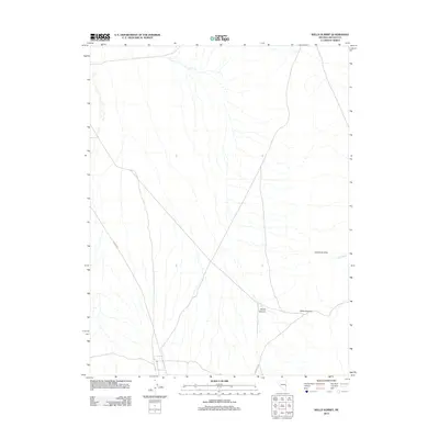
2012 Map of Wells Summit
USGS Topo · Published 2012About this map
Limestone Hills and the geological prominence of Wells Summit define the terrain of this Lincoln County landscape. This 2012 survey documents a largely undeveloped corridor where transport is limited to unpaved routes like Atlanta Rd and Hyde Well Rd. These roads follow the natural contours of the land, cutting through areas such as Daves Canyon and crossing the intermittent drainage of Hyde Wash. The map reflects a moment in time where the high-desert environment remains primarily defined by its physical geography rather than human settlement, serving as a record of the remote interior of eastern Nevada before further modern changes to the backcountry infrastructure.
Find a feature on this map
6 named features on this map. Tap any name to fly to it.
Don’t see what you’re looking for? This feature index may not catch every label — zoom into the map to look around manually.
Map Details
Editions of this 2012 Wells Summit Map
This is the sole edition of this map. No revisions or reprints were ever made.
Other maps of this area

1956 · Lund
USGS Topo · 1:250,000

1960 · Lund
USGS Topo · 1:250,000

1972 · Rosencrans Knolls
USGS Topo · 1:24,000

1972 · Hyde Well
USGS Topo · 1:24,000

1972 · Big Springs
USGS Topo · 1:24,000

1973 · Horse Corral Pass
USGS Topo · 1:24,000

1973 · Atlanta
USGS Topo · 1:24,000

1973 · Indian Springs Knolls
USGS Topo · 1:24,000

1973 · Red Ledges
USGS Topo · 1:24,000
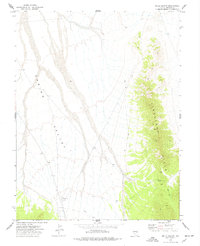
1973 · Wells Summit
USGS Topo · 1:24,000