
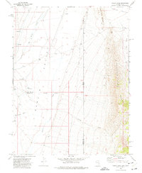
1972 Map of Big Springs
USGS Topo · Published 1975About this map
The Snake Range foothills meet the broad expanse of Hamlin Valley in this survey of the Nevada-Utah borderlands. The landscape is dominated by the seasonal drainage patterns of Big Spring Wash and its West Fork, which flow out of the Humboldt National Forest. Human presence is concentrated around the reliable water of Big Springs, where the Big Springs Ranch sits near the head of Big Springs Cr.
Find a feature on this map
12 named features on this map. Tap any name to fly to it.
Don’t see what you’re looking for? This feature index may not catch every label — zoom into the map to look around manually.
Map Details
Editions of this 1972 Big Springs Map
This is the sole edition of this map. No revisions or reprints were ever made.
Other maps of this area

1948 · Wheeler Peak
USGS Topo · 1:62,500

1949 · Garrison
USGS Topo · 1:62,500

1950 · Wheeler Peak
USGS Topo · 1:62,500

1951 · Garrison
USGS Topo · 1:62,500

1956 · Lund
USGS Topo · 1:250,000

1960 · Lund
USGS Topo · 1:250,000

1972 · Miller Wash
USGS Topo · 1:24,000

1972 · Hyde Well
USGS Topo · 1:24,000
1972 · Tweedy Wash
USGS Topo · 1:24,000

1973 · Red Ledges
USGS Topo · 1:24,000