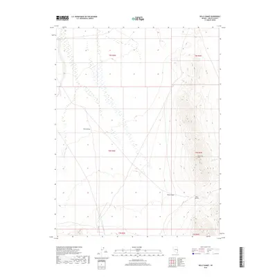
2018 Map of Wells Summit
USGS Topo · Published 2018About this map
Spring Valley dominates the western half of this Lincoln County landscape, showing a broad alluvial expanse that contrasts sharply with the verticality of the Limestone Hills to the east. The geography is defined by significant drainage and transit features, including the eponymous Wells Summit and the carved path of Daves Canyon. This area of eastern Nevada serves as a textbook example of Basin and Range morphology, where the flat valley floor meets the steep, north-south trending ridges. Small intermittent water features like Hyde Wash illustrate the arid hydrology of the region. The map preserves the township and range grid system across several sections, including t9n r68e and t8n r69e, providing a clear record of land division in this part of the state during the early 21st century.
Find a feature on this map
11 named features on this map. Tap any name to fly to it.
Don’t see what you’re looking for? This feature index may not catch every label — zoom into the map to look around manually.
Map Details
Editions of this 2018 Wells Summit Map
This is the sole edition of this map. No revisions or reprints were ever made.
Other maps of this area

1956 · Lund
USGS Topo · 1:250,000

1960 · Lund
USGS Topo · 1:250,000

1972 · Rosencrans Knolls
USGS Topo · 1:24,000

1972 · Hyde Well
USGS Topo · 1:24,000

1972 · Big Springs
USGS Topo · 1:24,000

1973 · Horse Corral Pass
USGS Topo · 1:24,000

1973 · Atlanta
USGS Topo · 1:24,000

1973 · Indian Springs Knolls
USGS Topo · 1:24,000

1973 · Red Ledges
USGS Topo · 1:24,000
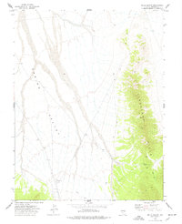
1973 · Wells Summit
USGS Topo · 1:24,000