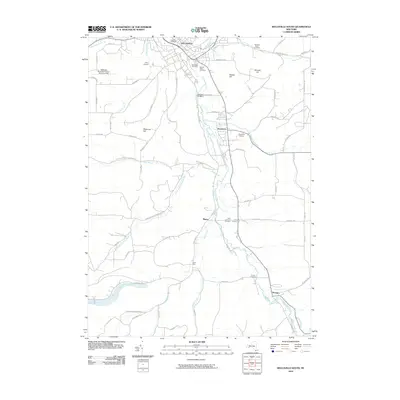
2010 Map of Wellsville South
USGS Topo · Published 2010About this map
The Genesee River valley dominates this portion of Allegany County, where the southern outskirts of Wellsville give way to smaller riverside hamlets and high hills. This area is defined by its numerous tributaries, including Dyke Creek and Ford Brook, which have carved the landscape into prominent elevations like Meservey Hill and Rauber Hill. The map provides a detailed view of the regional infrastructure as it stood in 2010, featuring the Wellsville Municipal Airport-Tarantine Field and the historically significant Weidrich Bridge. Local heritage is well-preserved through a high density of burial grounds, such as Woodlawn Cemetery and York Corners Cemetery, and the presence of Camp Owaissa. The settlement patterns follow the winding path of the river, connecting Stannards and Shongo via rural corridors like River Rd.
Find a feature on this map
77 named features on this map. Tap any name to fly to it.
Don’t see what you’re looking for? This feature index may not catch every label — zoom into the map to look around manually.
Map Details
Editions of this 2010 Wellsville South Map
This is the sole edition of this map. No revisions or reprints were ever made.
Other maps of this area

1925 · Belmont
USGS Topo · 1:62,500

1926 · Wellsville
USGS Topo · 1:62,500

1932 · Genesee
USGS Topo · 1:62,500

1934 · Coudersport
USGS Topo · 1:48,000

1937 · Genesee
USGS Topo · 1:62,500

1938 · Coudersport
USGS Topo · 1:62,500

1939 · Belmont
USGS Topo · 1:62,500

1950 · Elmira
USGS Topo · 1:250,000

1954 · Williamsport
USGS Topo · 1:250,000

1957 · Warren
USGS Topo · 1:250,000