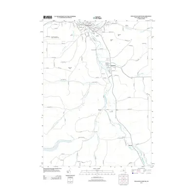
2013 Map of Wellsville South
USGS Topo · Published 2013About this map
The Genesee River cuts a primary valley through the southern tier of Allegany County, anchoring a landscape defined by its many tributary creeks and steep hillsides. In the northern portion of the map, the village of Wellsville serves as a local hub, where residential streets like S Broad St and Maple Ave converge near the water. The survey reveals a rural economy of established agricultural operations, including Fanton Farm and Brandes Farms, alongside specialized infrastructure like the Stone Dam and the Weidrick Bridge.
Find a feature on this map
120 named features on this map. Tap any name to fly to it.
Don’t see what you’re looking for? This feature index may not catch every label — zoom into the map to look around manually.
Map Details
Editions of this 2013 Wellsville South Map
This is the sole edition of this map. No revisions or reprints were ever made.
Other maps of this area

1925 · Belmont
USGS Topo · 1:62,500

1926 · Wellsville
USGS Topo · 1:62,500

1932 · Genesee
USGS Topo · 1:62,500

1934 · Coudersport
USGS Topo · 1:48,000

1937 · Genesee
USGS Topo · 1:62,500

1938 · Coudersport
USGS Topo · 1:62,500

1939 · Belmont
USGS Topo · 1:62,500

1950 · Elmira
USGS Topo · 1:250,000

1954 · Williamsport
USGS Topo · 1:250,000

1957 · Warren
USGS Topo · 1:250,000