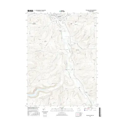
2016 Map of Wellsville South
USGS Topo · Published 2016About this map
The Genesee River corridor defines this southern Tier landscape, flowing northward from Shongo through Mapes and toward the village of Wellsville. In this 2016 survey, the area's agricultural and rural character is preserved around the river's floodplains, while the northern edge shows the concentrated street grid of the village, including S Main St and E State St. Genealogists will find a high density of rural burial grounds throughout the valley, from Woodlawn Cem and Sacred Heart Cem near the town center to the more isolated Yorks Corners Cem and Graves Cem further south. The map also documents modern aviation and transit infrastructure, featuring Wellsville Municipal Airport at Tarantine Field and the Weidrich Bridge crossing the river, alongside numerous named peaks like Meservey Hill and Vorhees Hill.
Find a feature on this map
109 named features on this map. Tap any name to fly to it.
Don’t see what you’re looking for? This feature index may not catch every label — zoom into the map to look around manually.
Map Details
Editions of this 2016 Wellsville South Map
This is the sole edition of this map. No revisions or reprints were ever made.
Other maps of this area

1925 · Belmont
USGS Topo · 1:62,500

1926 · Wellsville
USGS Topo · 1:62,500

1932 · Genesee
USGS Topo · 1:62,500

1934 · Coudersport
USGS Topo · 1:48,000

1937 · Genesee
USGS Topo · 1:62,500

1938 · Coudersport
USGS Topo · 1:62,500

1939 · Belmont
USGS Topo · 1:62,500

1950 · Elmira
USGS Topo · 1:250,000

1954 · Williamsport
USGS Topo · 1:250,000

1957 · Warren
USGS Topo · 1:250,000