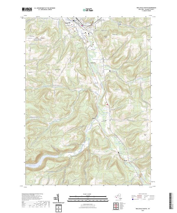
2023 Map of Wellsville South
USGS Topo · Published 2023About this map
The Genesee River valley carves through the highlands of Allegany County, anchoring a corridor of historical settlements from the village of Wellsville south to the hamlet of Shongo. This modern topographic study reveals a landscape defined by sharp elevation changes, where high points like Rauber Hill and Hanover Hill overlook the narrow floodplains of Dyke Creek and Chenunda Creek. The dense concentration of family and community burial grounds, including Woodlawn Cem, Stannards Cem, and Graves Cem, provides a detailed record of local genealogy across the township. Industrial and transportation development is marked by the presence of the Wellsville Municipal Airport/Tarantine Field and the winding path of Stevens St and S Main St, which trace the original riverine routes connecting the smaller outposts of Stannards and Mapes.
Find a feature on this map
107 named features on this map. Tap any name to fly to it.
Don’t see what you’re looking for? This feature index may not catch every label — zoom into the map to look around manually.
Map Details
Editions of this 2023 Wellsville South Map
This is the sole edition of this map. No revisions or reprints were ever made.
Other maps of this area

1925 · Belmont
USGS Topo · 1:62,500

1926 · Wellsville
USGS Topo · 1:62,500

1932 · Genesee
USGS Topo · 1:62,500

1934 · Coudersport
USGS Topo · 1:48,000

1937 · Genesee
USGS Topo · 1:62,500

1938 · Coudersport
USGS Topo · 1:62,500

1939 · Belmont
USGS Topo · 1:62,500

1950 · Elmira
USGS Topo · 1:250,000

1954 · Williamsport
USGS Topo · 1:250,000

1957 · Warren
USGS Topo · 1:250,000