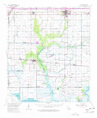
1955 Map of Welsh
USGS Topo · Published 1977About this map
Welsh and its surrounding prairie landscapes dominate this mid-century survey, revealing a region defined by rice irrigation and the expanding petroleum industry. The Southern Pacific and Missouri Pacific railroads anchor the northern settlements of Iowa, Lacassine, and Roanoke, while the southern reaches descend into the marshy complex of the Lacassine National Wildlife Refuge. This intersection of agriculture and conservation is marked by a vast network of man-made waterways, including the Indian Bayou Canal and the Niblett Canal, which support the local transition from the prairie to the coastal wetlands.
Find a feature on this map
52 named features on this map. Tap any name to fly to it.
Don’t see what you’re looking for? This feature index may not catch every label — zoom into the map to look around manually.
Map Details
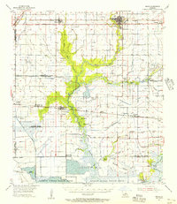
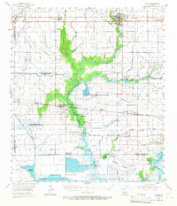
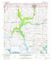
Editions of this 1955 Welsh Map
4 editions found
Other maps of this area

1932 · Lake Charles NE
USGS Topo · 1:31,680

1932 · Lake Charles SE
USGS Topo · 1:31,680

1934 · Lake Misere
USGS Topo · 1:24,000

1934 · Boudreaux Lake
USGS Topo · 1:24,000

1934 · Latania Lake
USGS Topo · 1:24,000

1935 · Lake Misere
USGS Topo · 1:31,680

1935 · Latania Lake
USGS Topo · 1:31,680

1935 · Boudreaux Lake
USGS Topo · 1:31,680

1942 · Lake Charles
USGS Topo · 1:62,500

1946 · Lacassine
USGS Topo · 1:31,680