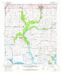
1955 Map of Welsh
USGS Topo · Published 1972About this map
Southern Pacific rail lines and extensive irrigation networks define this agricultural and industrial landscape where the coastal prairies meet the wetlands of the Lacassine National Wildlife Refuge. The map details the complex water management required for the region, showing a dense grid of Irrigation Canals and Spoil Banks alongside natural waterways like West Bayou Lacassine and East Bayou Lacassine. Local history is anchored by family-named landmarks such as Foreman Hill, Broussard Cem, and Lorrain Cem, reflecting generations of settlement near Welsh and Lacassine. Economic activity in the mid-20th century is evident through the proliferation of energy infrastructure, including the Lake Arthur Oil Field and the North Hayes Gas Field, which sit adjacent to specialized facilities like the Illinois Plant. The southern reaches transition into the marshy terrain of Willow Marsh and Goose Island, showcasing the transition toward the Mermentau River.
Find a feature on this map
54 named features on this map. Tap any name to fly to it.
Don’t see what you’re looking for? This feature index may not catch every label — zoom into the map to look around manually.
Map Details
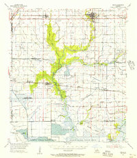
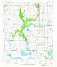
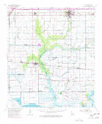
Editions of this 1955 Welsh Map
4 editions found
Other maps of this area

1932 · Lake Charles NE
USGS Topo · 1:31,680

1932 · Lake Charles SE
USGS Topo · 1:31,680

1934 · Lake Misere
USGS Topo · 1:24,000

1934 · Boudreaux Lake
USGS Topo · 1:24,000

1934 · Latania Lake
USGS Topo · 1:24,000

1935 · Lake Misere
USGS Topo · 1:31,680

1935 · Latania Lake
USGS Topo · 1:31,680

1935 · Boudreaux Lake
USGS Topo · 1:31,680

1942 · Lake Charles
USGS Topo · 1:62,500

1946 · Lacassine
USGS Topo · 1:31,680