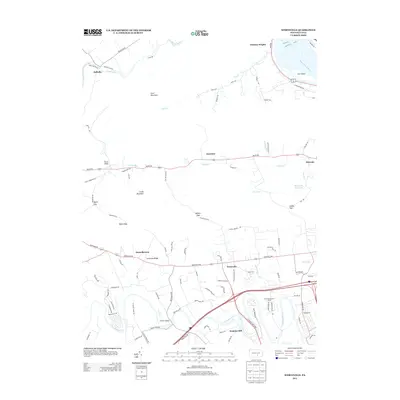
2013 Map of Wertzville
USGS Topo · Published 2013About this map
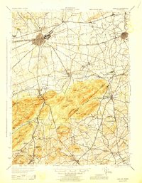
Wertzville and the surrounding Ridge and Valley province of central Pennsylvania are defined by the rhythmic sequence of parallel mountain ridges and water gaps. The landscape is anchored by the winding course of the Conodoguinet Cr in the south and the Susquehanna River at the northeast corner, where Cox Island sits near the riverbank. This 2013 survey illustrates the enduring rural character of Cumberland and Perry counties, where old settlement nodes like Donnellytown, Keystone, and Dellville follow the valley floors between Cove Mountain and Little Mountain.
Find a feature on this map
97 named features on this map. Tap any name to fly to it.
Don’t see what you’re looking for? This feature index may not catch every label — zoom into the map to look around manually.
Map Details
Editions of this 2013 Wertzville Map
This is the sole edition of this map. No revisions or reprints were ever made.
Other maps of this area

1892 · Harrisburg
USGS Topo · 1:62,500

1899 · Harrisburg
USGS Topo · 1:62,500
1904 · Carlisle
USGS Topo · 1:62,500

1906 · New Cumberland
USGS Topo · 1:62,500

1907 · New Bloomfield
USGS Topo · 1:62,500

1924 · Harrisburg
USGS Topo · 1:62,500

1943 · New Cumberland
USGS Topo · 1:62,500
1943 · Harrisburg
USGS Topo · 1:62,500
1943 · New Bloomfield
USGS Topo · 1:62,500
1943 · Carlisle
USGS Topo · 1:62,500
Featured Places
- Middlesex Township, PA
- Wheatfield Township, PA
- Carroll Township, PA
- Kinkora Heights, Penn Township
- Hustons Mill, Silver Spring Township