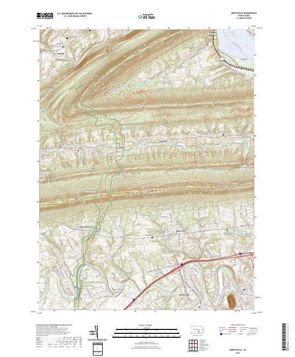
2023 Map of Wertzville
USGS Topo · Published 2023About this map
Blue Mountain and Cove Mountain dominate this central Pennsylvania landscape, where the ridges of the Appalachian range define the settlement patterns of Perry and Cumberland counties. The Appalachian National Scenic Trail winds across these summits, crossing through significant gaps like Millers Gap and Lambs Gap. In the valleys between the ridges, small communities such as Dellville and Wertzville are connected by a network of rural roads that follow the path of least resistance through the topography.
Find a feature on this map
51 named features on this map. Tap any name to fly to it.
Don’t see what you’re looking for? This feature index may not catch every label — zoom into the map to look around manually.
Map Details
Editions of this 2023 Wertzville Map
This is the sole edition of this map. No revisions or reprints were ever made.
Other maps of this area

1892 · Harrisburg
USGS Topo · 1:62,500

1899 · Harrisburg
USGS Topo · 1:62,500

1904 · Carlisle
USGS Topo · 1:62,500

1906 · New Cumberland
USGS Topo · 1:62,500

1907 · New Bloomfield
USGS Topo · 1:62,500

1924 · Harrisburg
USGS Topo · 1:62,500

1943 · New Cumberland
USGS Topo · 1:62,500

1943 · Harrisburg
USGS Topo · 1:62,500

1943 · New Bloomfield
USGS Topo · 1:62,500

1943 · Carlisle
USGS Topo · 1:62,500
Featured Places
- Middlesex Township, PA
- Wheatfield Township, PA
- Silver Spring Township, PA
- Rye Township, PA
- Carroll Township, PA