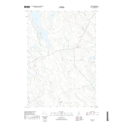
2018 Map of Wesley
USGS Topo · Published 2018About this map
The town of Wesley serves as the small population center for this section of Washington County, where the landscape is defined by an extensive network of waterways and glacial features. Multiple significant water bodies, including First Chain Lake and Second Chain Lake, are connected by the winding Chain Lake Stream, which feeds into the larger course of Old Stream. The presence of Stinking Jam Rapids and Longfellow Pitch suggests a river system with variable elevation and active flow, historically significant for the region's timber and recreational heritage. To the east, the terrain rises toward Day Hill and drops again to Seavey Lake. This 2018 survey reveals a modern layout of logging and access roads, such as Champion 85-00-0 and Hayward Ridge Rd, cutting through the dense woods and wetlands between the numerous brooks and ponds.
Find a feature on this map
43 named features on this map. Tap any name to fly to it.
Don’t see what you’re looking for? This feature index may not catch every label — zoom into the map to look around manually.
Map Details
Editions of this 2018 Wesley Map
This is the sole edition of this map. No revisions or reprints were ever made.
Other maps of this area

1941 · Wesley
USGS Topo · 1:62,500

1941 · Tug Mountain
USGS Topo · 1:62,500

1941 · Big Lake
USGS Topo · 1:62,500

1941 · Wabassus Lake
USGS Topo · 1:62,500

1943 · Big Lake
USGS Topo · 1:62,500

1943 · Tug Mountain
USGS Topo · 1:62,500

1943 · Wesley
USGS Topo · 1:62,500

1943 · Wabassus Lake
USGS Topo · 1:62,500

1952 · Big Lake
USGS Topo · 1:50,000

1953 · Wabassus Lake
USGS Topo · 1:62,500