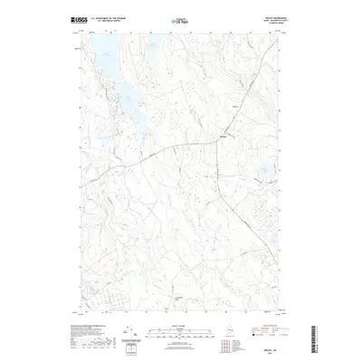
2021 Map of Wesley
USGS Topo · Published 2021About this map
Wesley serves as the central hub of this Down East landscape, where the Airline Rd cuts through a dense network of waterways and timberlands. The topography is defined by its extensive hydrography, featuring significant bodies such as First Chain Lake and Second Chain Lake, which are linked by Chain Lake Stream. The southern and eastern portions of the map reveal a complex system of brooks and specialized river features, including the descriptively named Stinking Jam Rapids and Longfellow Pitch.
Find a feature on this map
45 named features on this map. Tap any name to fly to it.
Don’t see what you’re looking for? This feature index may not catch every label — zoom into the map to look around manually.
Map Details
Editions of this 2021 Wesley Map
This is the sole edition of this map. No revisions or reprints were ever made.
Other maps of this area

1941 · Wesley
USGS Topo · 1:62,500

1941 · Tug Mountain
USGS Topo · 1:62,500

1941 · Big Lake
USGS Topo · 1:62,500

1941 · Wabassus Lake
USGS Topo · 1:62,500

1943 · Big Lake
USGS Topo · 1:62,500

1943 · Tug Mountain
USGS Topo · 1:62,500

1943 · Wesley
USGS Topo · 1:62,500

1943 · Wabassus Lake
USGS Topo · 1:62,500

1952 · Big Lake
USGS Topo · 1:50,000

1953 · Wabassus Lake
USGS Topo · 1:62,500