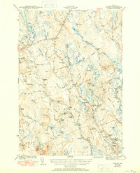
1943 Map of Wesley
USGS Topo · Published 1951About this map
Wesley and Northfield anchor this 1940s survey of Washington County, where the landscape is defined by the intricate waterway of the Machias River. The mapping details a wilderness economy and infrastructure, featuring the Old Air Line road cutting across the northern reaches and a prominent Firetower on a high point near the settlement of The Pines. This era shows local education concentrated at the Lower Wesley Sch and Northfield Sch, while the interior remains a web of streams and rapids like Stinking Jam Rapids and Wigwam Rapids.
Find a feature on this map
106 named features on this map. Tap any name to fly to it.
Don’t see what you’re looking for? This feature index may not catch every label — zoom into the map to look around manually.
Map Details
Editions of this 1943 Wesley Map
2 editions found

Other maps of this area

1902 · Cherryfield
USGS Topo · 1:62,500

1904 · Cherryfield
USGS Topo · 1:62,500

1918 · Machias
USGS Topo · 1:62,500

1921 · Columbia Falls
USGS Topo · 1:62,500

1921 · Columbia Falls
USGS Topo · 1:62,500

1929 · Calais
USGS Topo · 1:48,000

1932 · Calais
USGS Topo · 1:62,500

1941 · Columbia Falls
USGS Topo · 1:62,500

1941 · Machias
USGS Topo · 1:62,500

1941 · Wesley
USGS Topo · 1:62,500