
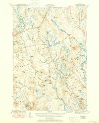
1943 Map of Wesley
USGS Topo · Published 1943About this map
The Air Line road cuts across the high ground of Washington County, passing through the small hilltop settlement of Wesley and the wooded tracts of The Pines. This 1941 survey captures the remote landscape of eastern Maine before modern development, where life centered on the Machias River and the numerous heaths and lakes that dominate the terrain. A prominent Firetower sits atop a 534-foot peak near Wesley, serving as a lookout over the surrounding timberlands.
Find a feature on this map
91 named features on this map. Tap any name to fly to it.
Don’t see what you’re looking for? This feature index may not catch every label — zoom into the map to look around manually.
Map Details
Editions of this 1943 Wesley Map
2 editions found
Other maps of this area

1902 · Cherryfield
USGS Topo · 1:62,500

1904 · Cherryfield
USGS Topo · 1:62,500

1918 · Machias
USGS Topo · 1:62,500

1921 · Columbia Falls
USGS Topo · 1:62,500

1921 · Columbia Falls
USGS Topo · 1:62,500

1929 · Calais
USGS Topo · 1:48,000

1932 · Calais
USGS Topo · 1:62,500

1941 · Columbia Falls
USGS Topo · 1:62,500

1941 · Machias
USGS Topo · 1:62,500

1941 · Wesley
USGS Topo · 1:62,500