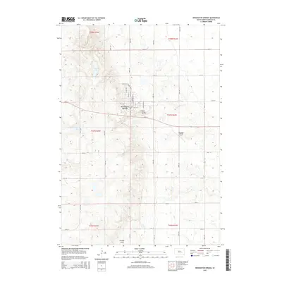
2015 Map of Wessington Springs
USGS Topo · Published 2015About this map
Wessington Springs stands at the eastern edge of the Wessington Hills, where the elevation drops from the high plains down toward the James River Valley. This 2015 layout illustrates the grid of the county seat, showing how streets like College Ave N and Railroad Ave N preserve the town's historical foundations in education and transport. The local geography is defined by the escarpment, which contains several prominent water bodies such as Bakers Lake and Deans Lake tucked into the slopes west of the main settlement.
Find a feature on this map
37 named features on this map. Tap any name to fly to it.
Don’t see what you’re looking for? This feature index may not catch every label — zoom into the map to look around manually.
Map Details
Editions of this 2015 Wessington Springs Map
This is the sole edition of this map. No revisions or reprints were ever made.
Other maps of this area

1898 · Huron
USGS Topo · 1:125,000

1899 · Mitchell
USGS Topo · 1:125,000

1942 · Crow Lake
USGS Topo · 1:62,500

1953 · Huron
USGS Topo · 1:250,000

1954 · Huron
USGS Topo · 1:250,000

1955 · Mitchell
USGS Topo · 1:250,000

1959 · Mitchell
USGS Topo · 1:250,000

1973 · Wessington Springs NE
USGS Topo · 1:24,000

1973 · Wessington Springs
USGS Topo · 1:24,000

1973 · Wessington Springs NW
USGS Topo · 1:24,000
Featured Places
- Wessington Springs, SD
- Viola Township, SD
- Anina Township, SD
- Wessington Springs Township, SD
- Media Township, SD