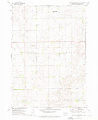
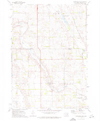
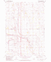
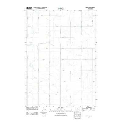
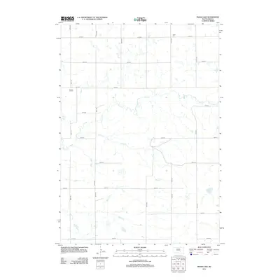
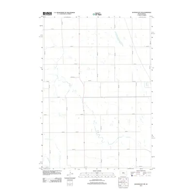
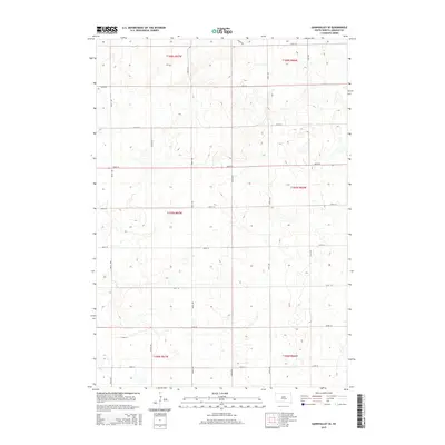
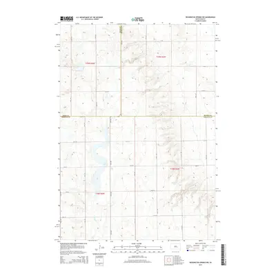
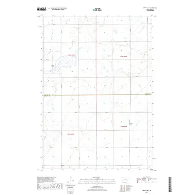
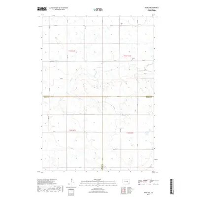
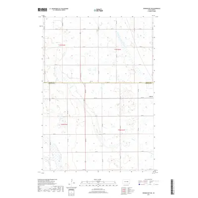
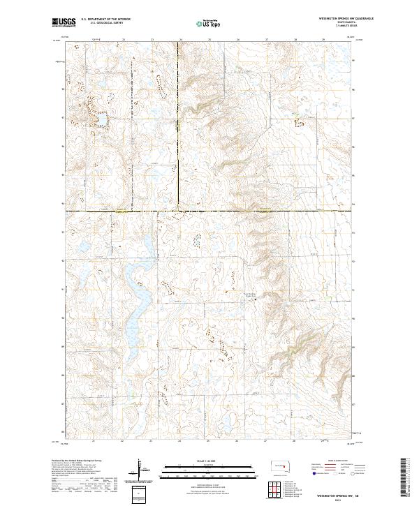
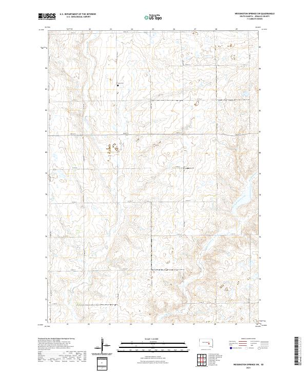
1973 Map of Wessington Springs SW
USGS Topo · Published 1976About this map
Smith Creek and its East Fork define the drainage of this Jerauld County landscape, where small rural institutions once anchored the townships of Harmony, Cherry, Pleasant, and Media. In the mid-1970s, the area remained a strictly agricultural landscape punctuated by essential community markers like Templeton Ch and several small country schools, including Pleasant View Sch, Schubert Sch, and Happy Hill Sch.
Find a feature on this map
18 named features on this map. Tap any name to fly to it.
Don’t see what you’re looking for? This feature index may not catch every label — zoom into the map to look around manually.
Map Details
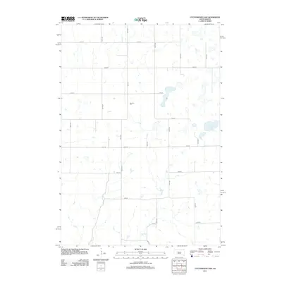
Editions of this 1973 Wessington Springs SW Map
This is the sole edition of this map. No revisions or reprints were ever made.
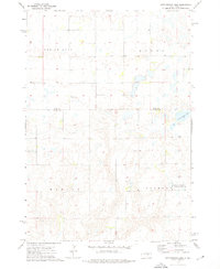
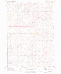
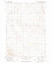
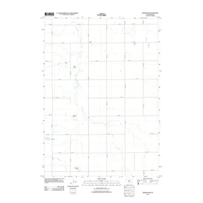
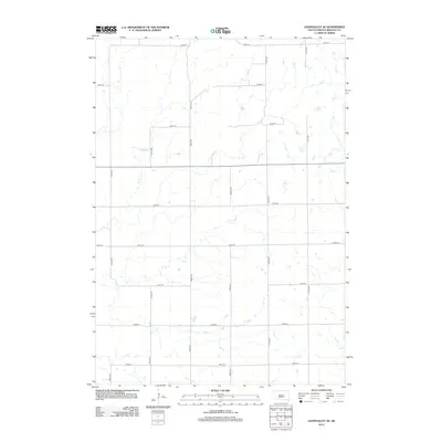
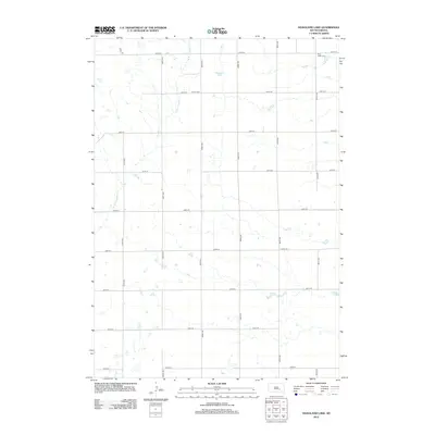
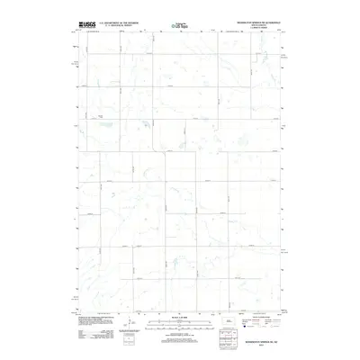
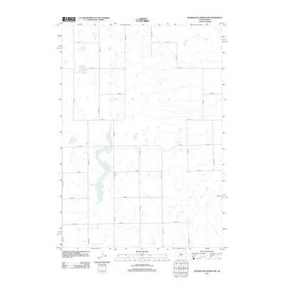
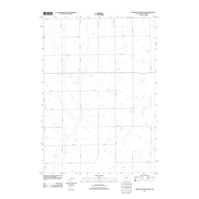
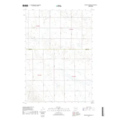
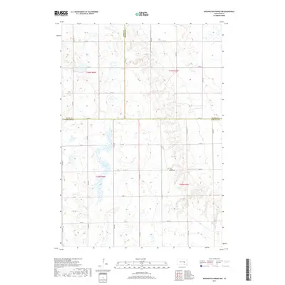
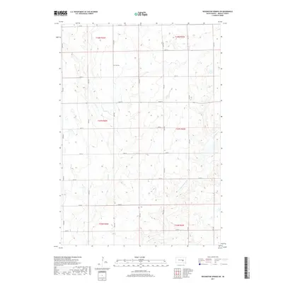
Historical Maps of Media Township Through Time
48 maps found
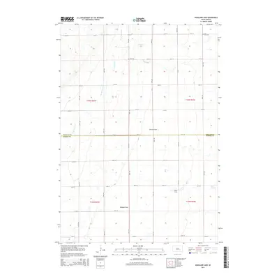
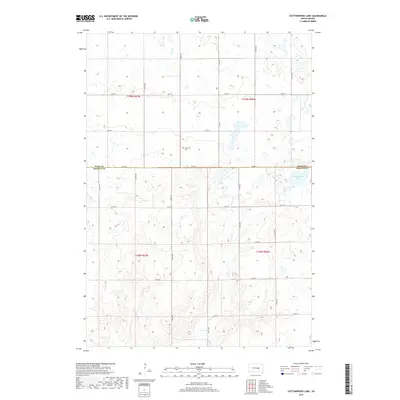
1973 Cottonwood Lake
Jerauld County, SD
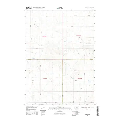
1973 Gannvalley SE
Jerauld County, SD
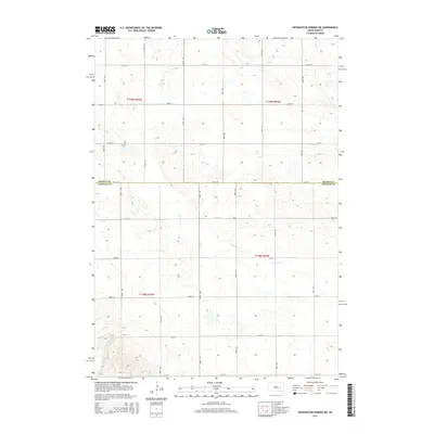
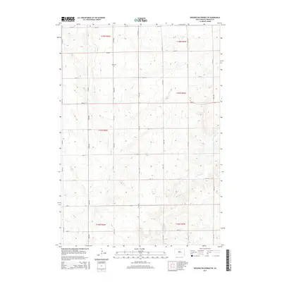
1973 Wessington Springs NE
Jerauld County, SD

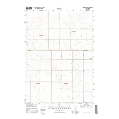
1973 Wessington Springs NW
Jerauld County, SD
1973 Wessington Springs SW
Jerauld County, SD
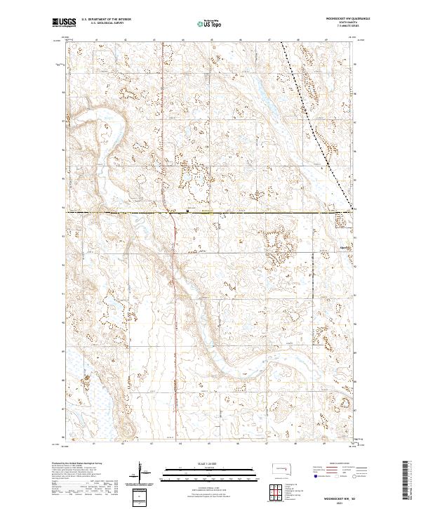
1973 Woonsocket NW
Jerauld County, SD
1979 Fraser Dam
Jerauld County, SD
1982 Crow Lake
Jerauld County, SD
2012 Cottonwood Lake
Jerauld County, SD
2012 Crow Lake
Jerauld County, SD
2012 Fraser Dam
Jerauld County, SD
2012 Gannvalley SE
Jerauld County, SD
2012 Hoagland Lake
Jerauld County, SD
2012 Isham Lake
Jerauld County, SD
2012 Wessington Springs NE
Jerauld County, SD
2012 Wessington Springs NW
Jerauld County, SD
2012 Wessington Springs SW
Jerauld County, SD
2012 Woonsocket NW
Jerauld County, SD
2015 Cottonwood Lake
Jerauld County, SD
2015 Crow Lake
Jerauld County, SD
2015 Fraser Dam
Jerauld County, SD
2015 Gannvalley SE
Jerauld County, SD
2015 Hoagland Lake
Jerauld County, SD
2015 Isham Lake
Jerauld County, SD
2015 Wessington Springs NE
Jerauld County, SD
2015 Wessington Springs NW
Jerauld County, SD
2015 Wessington Springs SW
Jerauld County, SD
2015 Woonsocket NW
Jerauld County, SD
2017 Cottonwood Lake
Jerauld County, SD
2017 Crow Lake
Jerauld County, SD
2017 Fraser Dam
Jerauld County, SD
2017 Gannvalley SE
Jerauld County, SD
2017 Hoagland Lake
Jerauld County, SD
2017 Isham Lake
Jerauld County, SD
2017 Wessington Springs NE
Jerauld County, SD
2017 Wessington Springs NW
Jerauld County, SD
2017 Wessington Springs SW
Jerauld County, SD
2017 Woonsocket NW
Jerauld County, SD
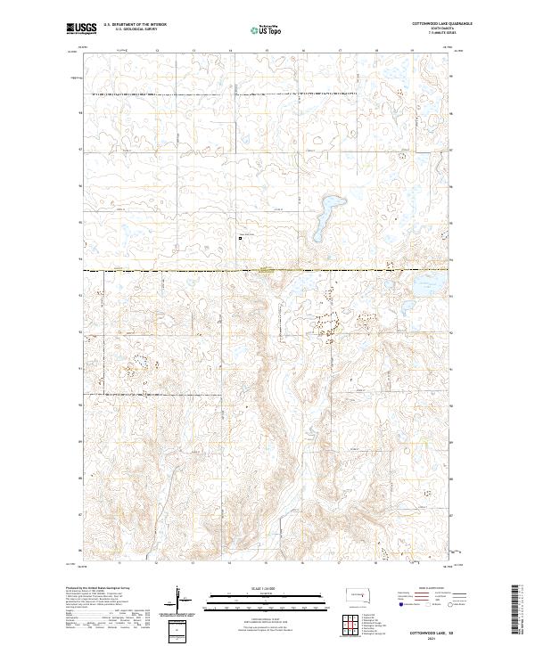
2021 Cottonwood Lake
Jerauld County, SD
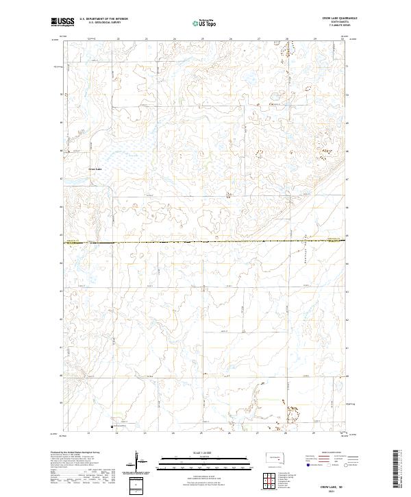
2021 Crow Lake
Jerauld County, SD
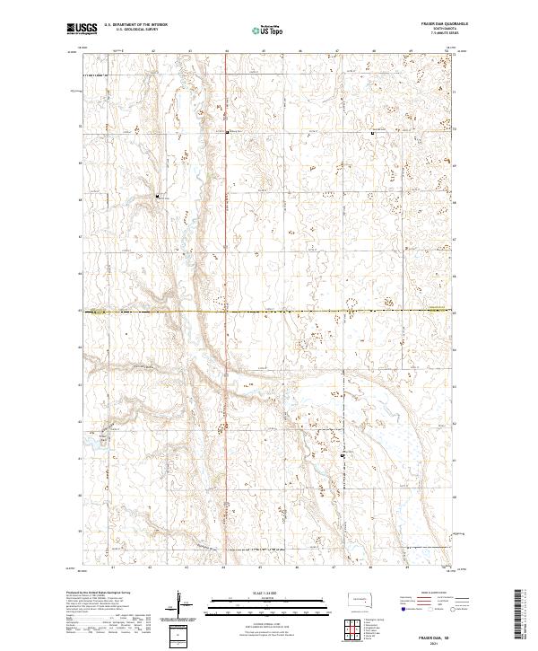
2021 Fraser Dam
Jerauld County, SD
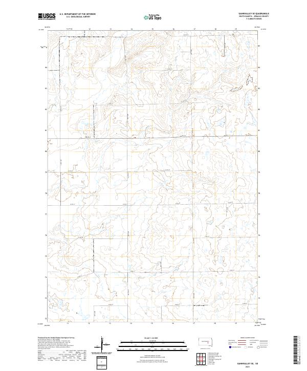
2021 Gannvalley SE
Jerauld County, SD
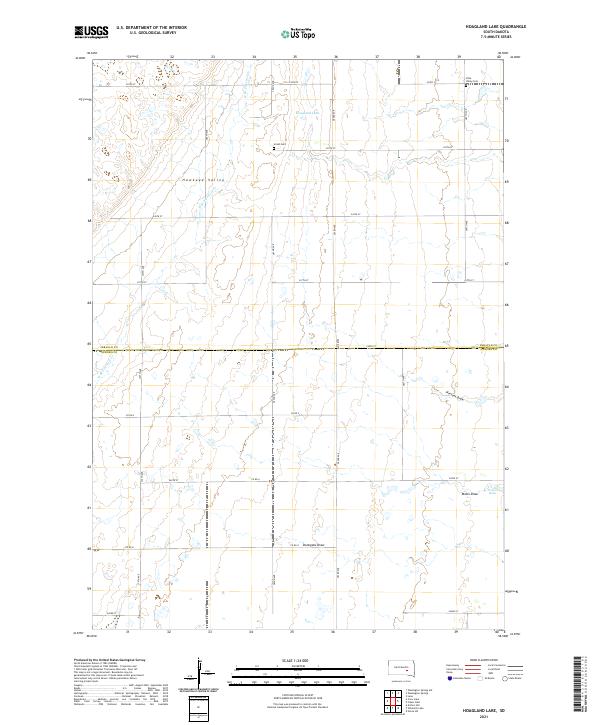
2021 Hoagland Lake
Jerauld County, SD
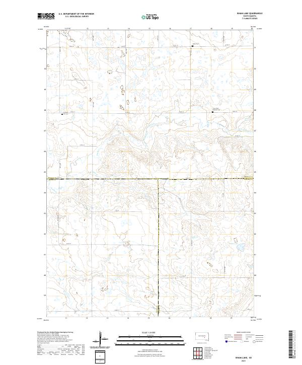
2021 Isham Lake
Jerauld County, SD
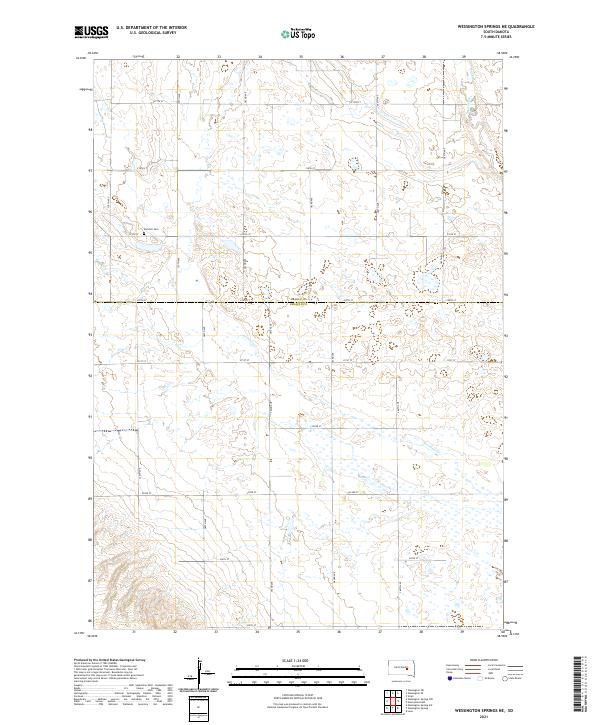
2021 Wessington Springs NE
Jerauld County, SD
2021 Wessington Springs NW
Jerauld County, SD
2021 Wessington Springs SW
Jerauld County, SD
2021 Woonsocket NW
Jerauld County, SD