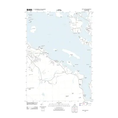
2012 Map of West Alton
USGS Topo · Published 2012About this map
Lake Winnipesaukee dominates this landscape, serving as a hub for recreational and seasonal settlement in the early 21st century. The map illustrates a complex shoreline characterized by prominent landforms such as Tuftonboro Neck and Wolfeboro Neck, alongside numerous islands like Rattlesnake Island and Welch Island. Along the southwestern shore, the community of West Alton and nearby developments like Gunstock Acres reflect the area's growth as a destination for outdoor enthusiasts.
Find a feature on this map
133 named features on this map. Tap any name to fly to it.
Don’t see what you’re looking for? This feature index may not catch every label — zoom into the map to look around manually.
Map Details
Editions of this 2012 West Alton Map
This is the sole edition of this map. No revisions or reprints were ever made.
Other maps of this area

1909 · Winnepesaukee
USGS Topo · 1:62,500

1919 · Gilmanton
USGS Topo · 1:62,500

1919 · Alton
USGS Topo · 1:62,500

1927 · Gilmanton
USGS Topo · 1:62,500

1928 · Wolfeboro
USGS Topo · 1:62,500

1949 · Portland
USGS Topo · 1:250,000

1956 · Winnipesaukee
USGS Topo · 1:62,500

1956 · Portland
USGS Topo · 1:250,000

1957 · Alton
USGS Topo · 1:62,500
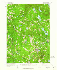
1957 · Gilmanton
USGS Topo · 1:62,500