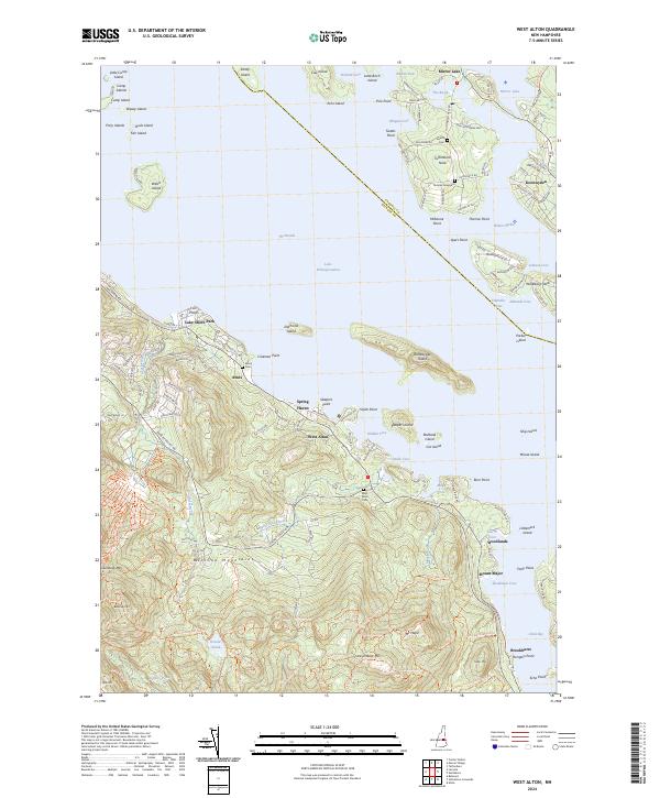
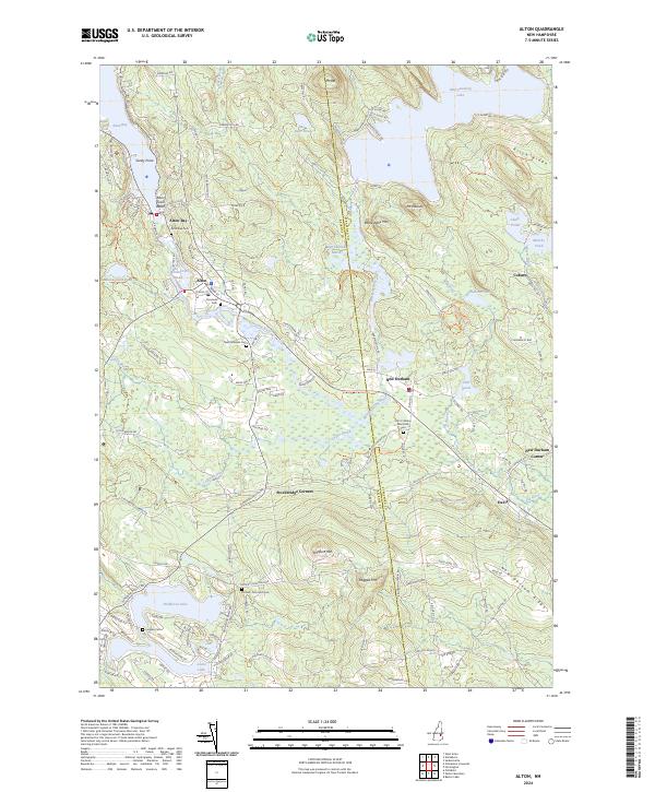
2024 Map of West Alton
USGS Topo · Published 2024About this map
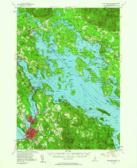
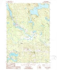
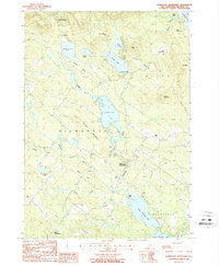
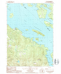
Lake Winnipesaukee and its complex shoreline dominate this coastal Belknap County landscape, where the waters of The Broads meet numerous islands and points. Small settlements such as West Alton and Spring Haven sit along the western banks, connected by the winding path of Lake Shore Road. The terrain rises sharply away from the water into the Belknap Mountains, reaching prominent summits at Gunstock Mtn and Mount Major. Local history and genealogy are well-preserved through several small burial sites, including the West Alton Cem and the family-named Thomas Graveyard on Tuftonboro Neck. The map captures the dense distribution of seasonal and permanent lakeside developments, from Lake Shore Park to the secluded residences on Rattlesnake Island and Welch Island, illustrating the long-standing importance of the lake to the region's economy and social structure.
Find a feature on this map
162 named features on this map. Tap any name to fly to it.
Don’t see what you’re looking for? This feature index may not catch every label — zoom into the map to look around manually.
Map Details
Editions of this 2024 West Alton Map
This is the sole edition of this map. No revisions or reprints were ever made.
Historical Maps of Yale Estates Through Time
26 maps found
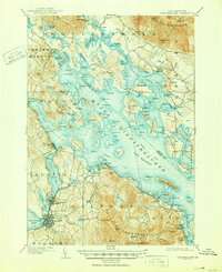
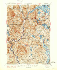
1909 Winnipesaukee
Belknap County, NH
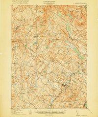
1919 Gilmanton
Belknap County, NH

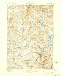
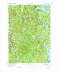
1925 Holderness
Belknap County, NH
1927 Gilmanton
Belknap County, NH
1927 Holderness
Belknap County, NH
1956 Holderness
Belknap County, NH
1956 Winnipesaukee
Belknap County, NH
1957 Gilmanton
Belknap County, NH
1987 Alton
Belknap County, NH

1987 Belmont
Belknap County, NH

1987 Bristol
Belknap County, NH

1987 Center Harbor
Belknap County, NH
1987 Gilmanton Ironworks
Belknap County, NH

1987 Holderness
Belknap County, NH
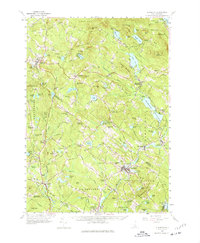
1987 West Alton
Belknap County, NH

1987 Winnisquam Lake
Belknap County, NH

1998 Center Harbor
Belknap County, NH

2000 Bristol
Belknap County, NH
2024 Alton
Belknap County, NH
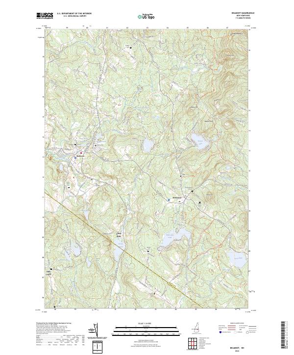
2024 Belmont
Belknap County, NH
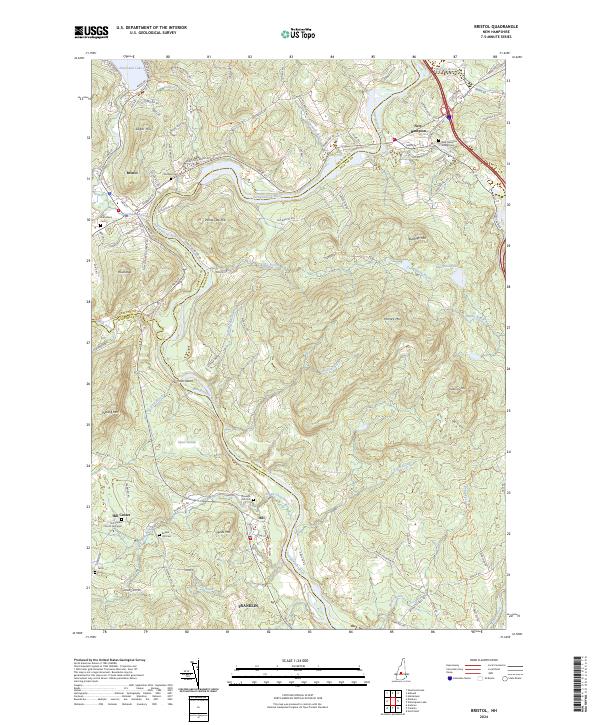
2024 Bristol
Belknap County, NH
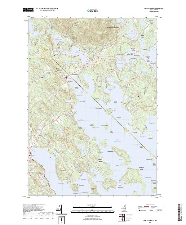
2024 Center Harbor
Belknap County, NH
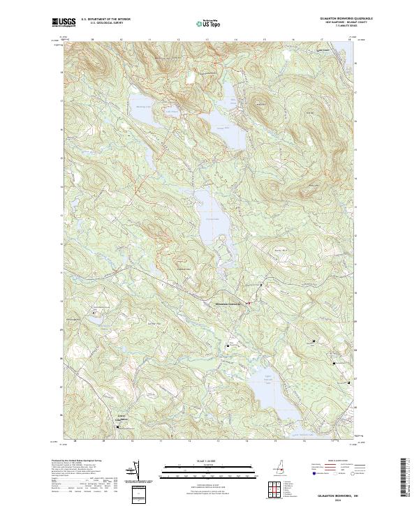
2024 Gilmanton Ironworks
Belknap County, NH
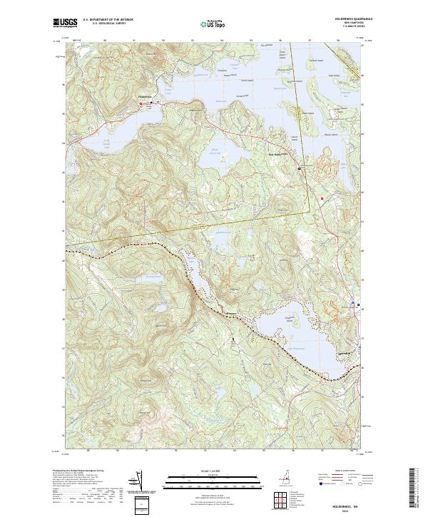
2024 Holderness
Belknap County, NH
2024 West Alton
Belknap County, NH
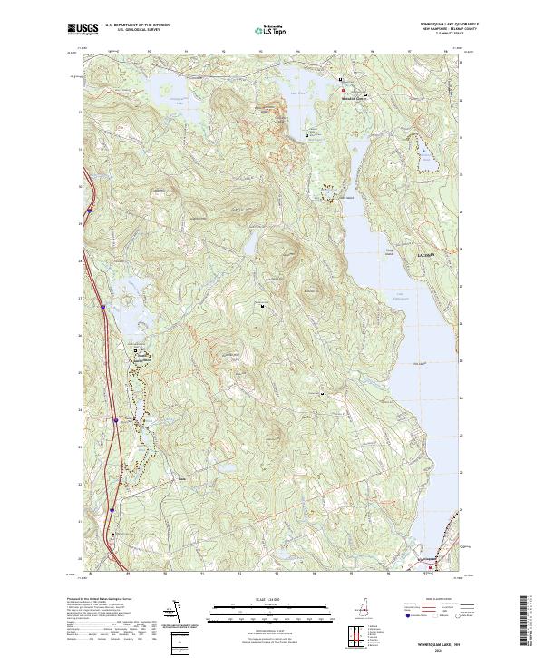
2024 Winnisquam Lake
Belknap County, NH