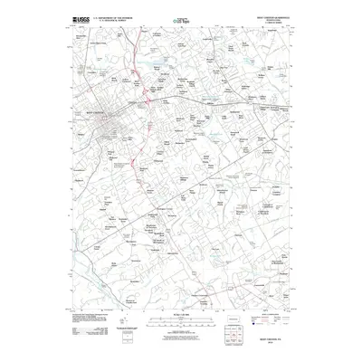
2010 Map of West Chester
USGS Topo · Published 2010About this map
The borough of West Chester anchors a landscape defined by collegiate institutions and residential expansion in this 2010 topographic survey. Academic hubs like West Chester University of Pennsylvania North Campus and Cheyney University of Pennsylvania are prominent features, reflecting the area's role as a regional educational center. The map details an extensive network of suburban developments such as Goshenville, Meriweather Farms, and Clock Tower Woods that have filled the spaces between older agricultural landmarks and country estates.
Find a feature on this map
212 named features on this map. Tap any name to fly to it.
Don’t see what you’re looking for? This feature index may not catch every label — zoom into the map to look around manually.
Map Details
Editions of this 2010 West Chester Map
This is the sole edition of this map. No revisions or reprints were ever made.
Other maps of this area

1894 · Chester
USGS Topo · 1:62,500

1894 · Norristown
USGS Topo · 1:62,500

1895 · Norristown
USGS Topo · 1:62,500

1896 · Norristown
USGS Topo · 1:62,500

1896 · Chester
USGS Topo · 1:62,500

1898 · Chester
USGS Topo · 1:62,500

1901 · Camden
USGS Topo · 1:125,000

1901 · West Chester
USGS Topo · 1:62,500

1904 · West Chester
USGS Topo · 1:62,500

1906 · Phoenixville
USGS Topo · 1:62,500
Featured Places
- West Goshen Township, PA
- West Chester, PA
- Willistown Township, PA
- Westtown, Thornbury Township
- Birmingham Township, PA