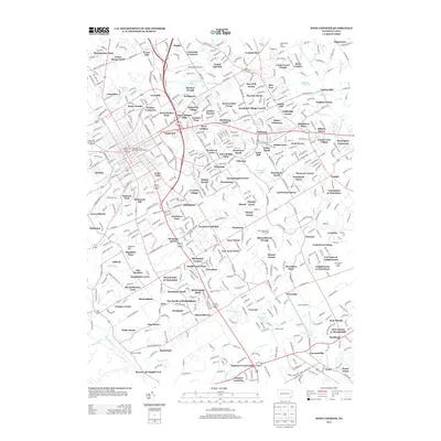
2013 Map of West Chester
USGS Topo · Published 2013About this map
West Chester University and its surrounding townships reflect a landscape defined by suburban expansion and preserved agricultural heritage. The density of residential developments such as Marydell Farms, Wyllpen Farms, and Ashbridge Farms indicates a transition from traditional dairy and agricultural land use to modern residential communities. Waterways like Chester Cr and its eastern branch, E Br Chester Cr, remain central to the topography, providing the historic context for sites like Dutts Mill and Dutton Mill.
Find a feature on this map
139 named features on this map. Tap any name to fly to it.
Don’t see what you’re looking for? This feature index may not catch every label — zoom into the map to look around manually.
Map Details
Editions of this 2013 West Chester Map
This is the sole edition of this map. No revisions or reprints were ever made.
Other maps of this area

1894 · Chester
USGS Topo · 1:62,500

1894 · Norristown
USGS Topo · 1:62,500

1895 · Norristown
USGS Topo · 1:62,500

1896 · Norristown
USGS Topo · 1:62,500

1896 · Chester
USGS Topo · 1:62,500

1898 · Chester
USGS Topo · 1:62,500

1901 · Camden
USGS Topo · 1:125,000

1901 · West Chester
USGS Topo · 1:62,500

1904 · West Chester
USGS Topo · 1:62,500

1906 · Phoenixville
USGS Topo · 1:62,500
Featured Places
- West Goshen Township, PA
- West Chester, PA
- Willistown Township, PA
- Westtown, Thornbury Township
- Birmingham Township, PA