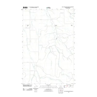
2011 Map of West Fork Beaver Creek
USGS Topo · Published 2011About this map
Beaver Creek and its complex network of tributaries define this section of Fergus County, where the landscape is etched by the West Fork Beaver Creek and the Middle Fork Beaver Creek. The 2011 survey reveals a rural landscape organized by long-standing ranching and local access routes, such as Stone Barn Rd and Ferrin Hill Rd. This area is anchored by the Beaver Creek Cemetery, a significant landmark for genealogical research in this sparsely populated region.
Find a feature on this map
21 named features on this map. Tap any name to fly to it.
Don’t see what you’re looking for? This feature index may not catch every label — zoom into the map to look around manually.
Map Details
Editions of this 2011 West Fork Beaver Creek Map
This is the sole edition of this map. No revisions or reprints were ever made.
Other maps of this area

1889 · Big Snowy Mountain
USGS Topo · 1:250,000

1893 · Big Snowy Mountain
USGS Topo · 1:250,000

1941 · Lewistown
USGS Topo · 1:62,500

1944 · Lewistown
USGS Topo · 1:62,500

1954 · Roundup
USGS Topo · 1:250,000

1954 · Lewistown
USGS Topo · 1:250,000

1958 · Roundup
USGS Topo · 1:250,000

1959 · Lewistown
USGS Topo · 1:250,000

1970 · Glengarry
USGS Topo · 1:24,000

1970 · Crystal Lake
USGS Topo · 1:24,000