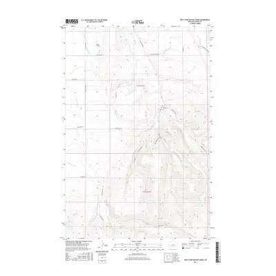
2017 Map of West Fork Beaver Creek
USGS Topo · Published 2017About this map
West Fork Beaver Creek and its neighboring drainages shape this Fergus County landscape, where the high country transitions into the intricate coulees and breaks typical of central Montana. The presence of the Beaver Creek Cem near Beaver Creek Rd serves as a vital anchor for genealogists and local historians, marking the legacy of earlier settlement in this watershed. Navigation across the terrain is defined by a network of established routes, including Crystal Lake Rd and Rock Creek Rd, which follow the natural contours of the land. High ridges such as Rocky Mountain Ln overlook a series of tributaries including Middle Fork Beaver Cr and Little Rock Cr. Further north, King Coulee cuts through the topography near the Beaver Creek Cutoff, illustrating the varied erosional patterns of the Big Snowy Mountains foothills.
Find a feature on this map
28 named features on this map. Tap any name to fly to it.
Don’t see what you’re looking for? This feature index may not catch every label — zoom into the map to look around manually.
Map Details
Editions of this 2017 West Fork Beaver Creek Map
This is the sole edition of this map. No revisions or reprints were ever made.
Other maps of this area

1889 · Big Snowy Mountain
USGS Topo · 1:250,000

1893 · Big Snowy Mountain
USGS Topo · 1:250,000

1941 · Lewistown
USGS Topo · 1:62,500

1944 · Lewistown
USGS Topo · 1:62,500

1954 · Roundup
USGS Topo · 1:250,000

1954 · Lewistown
USGS Topo · 1:250,000

1958 · Roundup
USGS Topo · 1:250,000

1959 · Lewistown
USGS Topo · 1:250,000

1970 · Glengarry
USGS Topo · 1:24,000

1970 · Crystal Lake
USGS Topo · 1:24,000