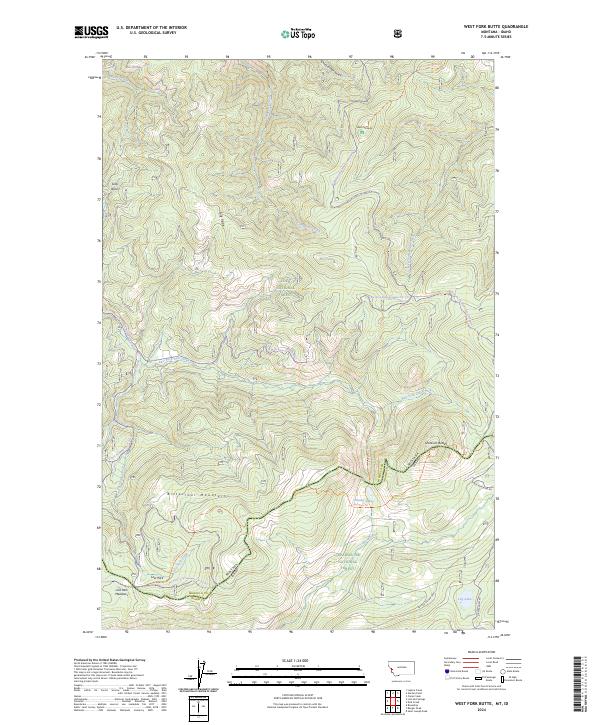
2024 Map of West Fork Butte
USGS Topo · Published 2024About this map
The Bitterroot Mountains form the backbone of this high-elevation landscape where the Montana-Idaho state line divides Lolo National Forest from Clearwater National Forest. This modern 2024 survey documents the intricate network of forest roads and snowmobile routes, such as the E Fk-W Fk Butte Snowmo Tr # 7, that connect the region's prominent peaks and drainages. The terrain is defined by deep creek valleys like Cloudburst Creek and West Fork Butte Creek, which fall away from high points including West Fork Butte and Skookum Butte. Localized geography is marked by landmarks such as Sally Ridge and Sally Basin in the north, while the southern reaches feature the high-mountain waters of Granite Lake and Lily Lake. The transition between Missoula County and Idaho County is clearly delineated alongside the remote Lost Park Meadows.
Find a feature on this map
35 named features on this map. Tap any name to fly to it.
Don’t see what you’re looking for? This feature index may not catch every label — zoom into the map to look around manually.
Map Details
Editions of this 2024 West Fork Butte Map
This is the sole edition of this map. No revisions or reprints were ever made.
Other maps of this area

1911 · Lolo
USGS Topo · 1:250,000

1912 · Missoula
USGS Topo · 1:125,000

1913 · Lolo
USGS Topo · 1:250,000

1956 · Hamilton
USGS Topo · 1:250,000

1959 · Hamilton
USGS Topo · 1:250,000

1960 · Hamilton
USGS Topo · 1:250,000

1964 · Hamilton
USGS Topo · 1:250,000

1964 · Lolo Hot Springs
USGS Topo · 1:24,000

1964 · Garden Point
USGS Topo · 1:24,000

1964 · Dick Creek
USGS Topo · 1:24,000