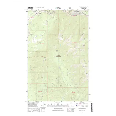
2017 Map of West Glacier
USGS Topo · Published 2017About this map
West Glacier serves as a critical mountain gateway in this 2017 study of the Flathead County landscape. The community is defined by its position along the Middle Fork Flathead River, which carves through the terrain as a primary corridor for both travel and recreation. The geography here is marked by the transition from the river valley to the rising peaks of the northern Rockies. This modern survey reflects the enduring importance of the river system and the concentrated development at the entrance to protected wilderness areas, showing how the local infrastructure and the natural waterway remain the primary features of the region's layout.
Find a feature on this map
2 named features on this map. Tap any name to fly to it.
Don’t see what you’re looking for? This feature index may not catch every label — zoom into the map to look around manually.
Map Details
Editions of this 2017 West Glacier Map
This is the sole edition of this map. No revisions or reprints were ever made.
Other maps of this area

1904 · Chief Mountain
USGS Topo · 1:125,000

1906 · Kintla Lakes
USGS Topo · 1:125,000

1914 · Nyack
USGS Topo · 1:125,000

1938 · Chief Mountain
USGS Topo · 1:125,000

1938 · Kintla Lakes
USGS Topo · 1:125,000

1943 · Kalispell
USGS Topo · 1:125,000

1957 · Kalispell
USGS Topo · 1:250,000

1960 · Kalispell
USGS Topo · 1:250,000

1960 · Cut Bank
USGS Topo · 1:250,000

1961 · Kalispell
USGS Topo · 1:250,000