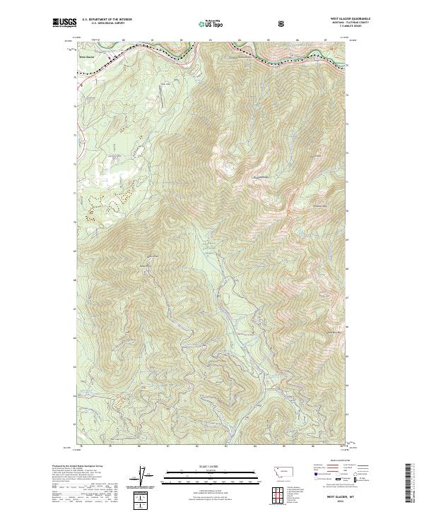
2024 Map of West Glacier
USGS Topo · Published 2024About this map
West Glacier serves as the primary gateway to the northern reaches of the Flathead National Forest, situated where the Middle Fork Flathead River carves through the landscape. This 2024 survey documents the dense network of forest development roads and trails that penetrate the Flathead Range, including the Natl Forest Develop Road 1613 Rd and the Highline Loop Trl. To the east, the map captures the transition into Glacier National Park and the protected lands of the Great Bear Wilderness. High-altitude landmarks like Ousel Peak, Pyramid Peak, and Great Bear Mtn define the topography, while Theodore Roosevelt Pass and the John F Stevens Canyon mark critical transit corridors through the mountains. Small clearings such as Halfmoon Flats and the landing strip at Ryan Field provide evidence of human activity amidst the expansive timber and drainage systems of Emery Creek and Royal Creek.
Find a feature on this map
62 named features on this map. Tap any name to fly to it.
Don’t see what you’re looking for? This feature index may not catch every label — zoom into the map to look around manually.
Map Details
Editions of this 2024 West Glacier Map
This is the sole edition of this map. No revisions or reprints were ever made.
Other maps of this area

1904 · Chief Mountain
USGS Topo · 1:125,000

1906 · Kintla Lakes
USGS Topo · 1:125,000

1914 · Nyack
USGS Topo · 1:125,000

1938 · Chief Mountain
USGS Topo · 1:125,000

1938 · Kintla Lakes
USGS Topo · 1:125,000

1943 · Kalispell
USGS Topo · 1:125,000

1957 · Kalispell
USGS Topo · 1:250,000

1960 · Kalispell
USGS Topo · 1:250,000

1960 · Cut Bank
USGS Topo · 1:250,000

1961 · Kalispell
USGS Topo · 1:250,000