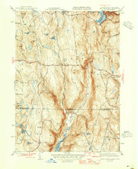
1946 Map of West Granville
USGS Topo · Published 1946About this map
Cobble Mountain Reservoir and Borden Brook Reservoir dominate the upper elevations of the Berkshires in this mid-century survey. The landscape is defined by its water resources and steep hills, including Bad Luck Mtn and Winchell Mtn, which frame the small settlements of West Granville and Granville Center. To the south across the state line, the Barkhamsted Reservoir begins to fill the valley of the Farmington River in Connecticut, illustrating the era's significant regional water management projects.
Find a feature on this map
60 named features on this map. Tap any name to fly to it.
Don’t see what you’re looking for? This feature index may not catch every label — zoom into the map to look around manually.
Map Details
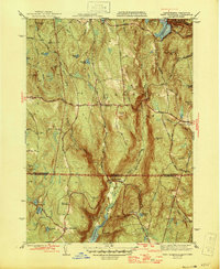
Editions of this 1946 West Granville Map
2 editions found
Other maps of this area

1887 · Granville
USGS Topo · 1:62,500

1888 · Sandisfield
USGS Topo · 1:62,500

1889 · Granville
USGS Topo · 1:62,500

1892 · Winsted
USGS Topo · 1:62,500

1892 · Granby
USGS Topo · 1:62,500

1893 · Granville
USGS Topo · 1:62,500

1893 · Sandisfield
USGS Topo · 1:62,500

1895 · Granville
USGS Topo · 1:62,500

1896 · Holyoke
USGS Topo · 1:125,000

1897 · Sandisfield
USGS Topo · 1:62,500