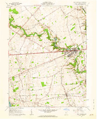
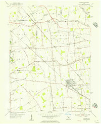
1961 Map of West Jefferson
USGS Topo · Published 1962About this map
West Jefferson serves as the primary hub of this Madison County landscape, situated where the Pennsylvania railroad crosses the winding Big Darby Creek. The map documents a predominantly agricultural region within the Virginia Military District, characterized by numerous family-named roads like Taylor Road and Bridenstine Road that weave between farmsteads and rural landmarks. In the northern reaches, the Battelle Memorial Institute occupies a significant tract of land near the Wissalohican Camp, while the south features the Madison Lake State Reserve.
Find a feature on this map
56 named features on this map. Tap any name to fly to it.
Don’t see what you’re looking for? This feature index may not catch every label — zoom into the map to look around manually.
Map Details
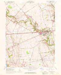
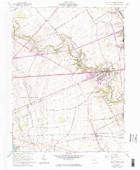
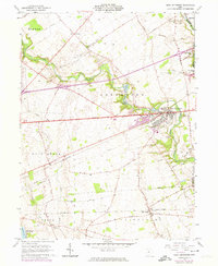
Editions of this 1961 West Jefferson Map
4 editions found
Other maps of this area

1901 · Dublin
USGS Topo · 1:62,500

1903 · Dublin
USGS Topo · 1:62,500

1907 · London
USGS Topo · 1:62,500

1916 · Milford Center
USGS Topo · 1:62,500

1923 · West Columbus
USGS Topo · 1:62,500

1925 · West Columbus
USGS Topo · 1:62,500

1944 · Milford Center
USGS Topo · 1:62,500

1947 · Columbus
USGS Topo · 1:250,000

1950 · Marion
USGS Topo · 1:250,000
1954 · Hilliard
USGS Topo · 1:24,000