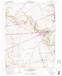
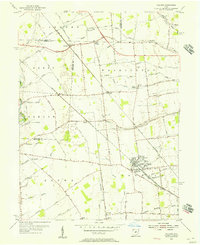
1961 Map of West Jefferson
USGS Topo · Published 1974About this map
Little Darby Creek and Big Darby Creek converge near West Jefferson, shaping a landscape defined by water and rail. The central role of the Penn Central railroad is evident as it cuts through the heart of town and the neighboring settlement of Lilly Chapel to the south. This era shows the local infrastructure supporting both residential and institutional growth, including the Hampton Sch and the expansive Battelle Memorial Institute facility. Agricultural life is marked by an extensive network of drainage features like the Monroe Bidwell Ditch and Hedrick Ditch. Local heritage is anchored by historic sites such as Foster Chapel and its cemetery, while recreation is centered on Madison Lake State Park and Wissalohican Camp along the creek bends.
Find a feature on this map
60 named features on this map. Tap any name to fly to it.
Don’t see what you’re looking for? This feature index may not catch every label — zoom into the map to look around manually.
Map Details
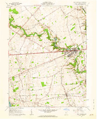
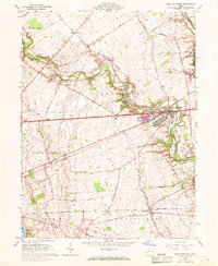
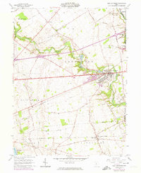
Editions of this 1961 West Jefferson Map
4 editions found
Other maps of this area

1901 · Dublin
USGS Topo · 1:62,500

1903 · Dublin
USGS Topo · 1:62,500

1907 · London
USGS Topo · 1:62,500

1916 · Milford Center
USGS Topo · 1:62,500

1923 · West Columbus
USGS Topo · 1:62,500

1925 · West Columbus
USGS Topo · 1:62,500

1944 · Milford Center
USGS Topo · 1:62,500

1947 · Columbus
USGS Topo · 1:250,000

1950 · Marion
USGS Topo · 1:250,000
1954 · Hilliard
USGS Topo · 1:24,000