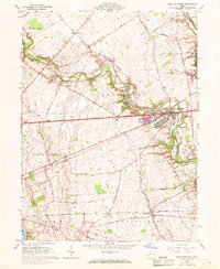
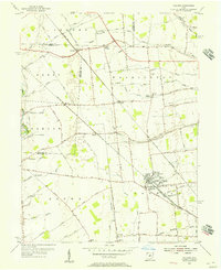
1961 Map of West Jefferson
USGS Topo · Published 1968About this map
Little Darby Creek meanders through the central landscape of Madison County, framing the growth of West Jefferson along the National Road. During the 1960s, this corridor transitioned from purely agricultural roots to include industrial and research facilities, most notably the Battelle Memorial Institute and extensive Sand and Gravel Pits. The Penn Central railroad tracks bisect the region, connecting the village center with smaller settlements like Lilly Chapel and the former stop at Rupert. Genealogists will find a high concentration of burial grounds, including the Foster Chapel Cem, Blair Cem, and Hampton Cem, reflecting the early pioneer families of the Virginia Military District. To the southwest, Madison Lake and its accompanying Madison Lake State Park anchor the recreation landscape near the headwaters of Deer Creek.
Find a feature on this map
58 named features on this map. Tap any name to fly to it.
Don’t see what you’re looking for? This feature index may not catch every label — zoom into the map to look around manually.
Map Details
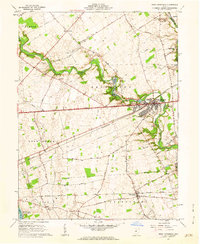
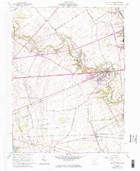
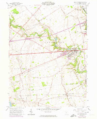
Editions of this 1961 West Jefferson Map
4 editions found
Other maps of this area

1901 · Dublin
USGS Topo · 1:62,500

1903 · Dublin
USGS Topo · 1:62,500

1907 · London
USGS Topo · 1:62,500

1916 · Milford Center
USGS Topo · 1:62,500

1923 · West Columbus
USGS Topo · 1:62,500

1925 · West Columbus
USGS Topo · 1:62,500

1944 · Milford Center
USGS Topo · 1:62,500

1947 · Columbus
USGS Topo · 1:250,000

1950 · Marion
USGS Topo · 1:250,000
1954 · Hilliard
USGS Topo · 1:24,000