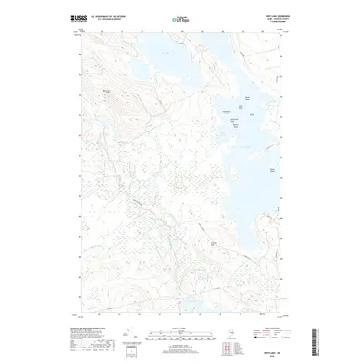
2018 Map of West Lake
USGS Topo · Published 2018About this map
West Lake and the sprawling waters of Nicatous Lake dominate this portion of Hancock County, defining a landscape shaped by glacial topography and a complex network of wetlands. The area is characterized by significant relief, notably along West Lake Ridge and Morrison Ridge, which separate various drainage basins and isolated ponds. The hydrography is particularly dense here, with smaller water bodies such as Crystal Pond, Otter Pond, and Little Pickerel Pond tucked between the larger lakes.
Find a feature on this map
37 named features on this map. Tap any name to fly to it.
Don’t see what you’re looking for? This feature index may not catch every label — zoom into the map to look around manually.
Map Details
Editions of this 2018 West Lake Map
This is the sole edition of this map. No revisions or reprints were ever made.
Other maps of this area

1929 · Great Pond
USGS Topo · 1:48,000

1929 · Lead Mountain
USGS Topo · 1:48,000

1931 · Saponac
USGS Topo · 1:48,000

1932 · Nicatous Lake
USGS Topo · 1:48,000

1932 · Lead Mountain
USGS Topo · 1:62,500

1932 · Great Pond
USGS Topo · 1:62,500

1934 · Saponac
USGS Topo · 1:62,500

1934 · Nicatous Lake
USGS Topo · 1:62,500

1948 · Bangor
USGS Topo · 1:250,000

1954 · Millinocket
USGS Topo · 1:250,000