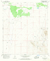
1965 Map of West Lime Hills
USGS Topo · Published 1967About this map
Mahoney Mines and scattered mineral prospects anchor the eastern slopes of the Hermanas Mountains in this mid-1960s survey of the high desert of Luna County. The landscape is defined by its critical water infrastructure, where isolated outposts like Suckerville and White House Ranch depend on a network of family-named water sources, including the Joy Windmill and Swope Windmill. The drainage patterns of Bisbee Draw and Tomerlin Draw dictate the movement across this arid terrain, reflecting a ranching and mining economy that relied on seasonal flows and deep-well tanks.
Find a feature on this map
24 named features on this map. Tap any name to fly to it.
Don’t see what you’re looking for? This feature index may not catch every label — zoom into the map to look around manually.
Map Details
Editions of this 1965 West Lime Hills Map
2 editions found
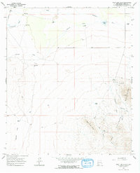
Other maps of this area

1899 · Deming
USGS Topo · 1:125,000

1915 · Deming
USGS Topo · 1:125,000

1917 · Hermanas
USGS Topo · 1:62,500

1917 · Columbus
USGS Topo · 1:62,500

1918 · Columbus
USGS Topo · 1:62,500

1918 · Hermanas
USGS Topo · 1:62,500

1920 · Columbus
USGS Topo · 1:62,500

1943 · Hermanas
USGS Topo · 1:62,500

1953 · El Paso
USGS Topo · 1:250,000

1955 · Las Cruces
USGS Topo · 1:250,000