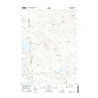
2014 Map of West Newfield
USGS Topo · Published 2014About this map
Parsonsfield and West Newfield anchor this rural borderland, where the state line divides the landscape between New Hampshire and Maine. The map reveals a high density of ancestral burial sites, indicating long-established family homesteads scattered throughout the wooded hills and valley floors. Notable locations for genealogists include the Town House Cem near the center of Parsonsfield and the Tuck Family Cem situated just east of Province Lake.
Find a feature on this map
110 named features on this map. Tap any name to fly to it.
Don’t see what you’re looking for? This feature index may not catch every label — zoom into the map to look around manually.
Map Details
Editions of this 2014 West Newfield Map
This is the sole edition of this map. No revisions or reprints were ever made.
Other maps of this area

1891 · Newfield
USGS Topo · 1:62,500

1893 · Newfield
USGS Topo · 1:62,500

1910 · Kezar Falls
USGS Topo · 1:48,000

1911 · Kezar Falls
USGS Topo · 1:62,500

1928 · Wolfeboro
USGS Topo · 1:62,500

1930 · Ossipee Lake
USGS Topo · 1:62,500

1933 · Newfield
USGS Topo · 1:48,000

1937 · Newfield
USGS Topo · 1:62,500

1942 · Newfield
USGS Topo · 1:62,500

1944 · Newfield
USGS Topo · 1:62,500