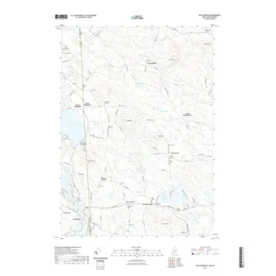
2021 Map of West Newfield
USGS Topo · Published 2021About this map
West Newfield and the neighboring settlements of Mee Corners and Stevens Corner anchor this mapping of the borderlands where Maine meets New Hampshire. The landscape is defined by its transition from the shores of Province Lake and Rock Haven Lake to the prominent heights of Dearborn Mtn and Wiggin Mtn. This era shows a community deeply rooted in its local history, evidenced by the numerous small family burial grounds and community cemeteries that dot the map, including the Doe Family Graveyard, Tuck Family Cem, and the Marston Doe Graveyard. The infrastructure reveals a mix of old thoroughfares like Stagecoach Rd and Lost Mile Rd, alongside clearings at South Parsonsfield and South Effingham. The drainage patterns of Chellis Brook and Emerson Brook weave through the hilly terrain, illustrating the natural water network that once supported these rural townships.
Find a feature on this map
113 named features on this map. Tap any name to fly to it.
Don’t see what you’re looking for? This feature index may not catch every label — zoom into the map to look around manually.
Map Details
Editions of this 2021 West Newfield Map
This is the sole edition of this map. No revisions or reprints were ever made.
Other maps of this area

1891 · Newfield
USGS Topo · 1:62,500

1893 · Newfield
USGS Topo · 1:62,500

1910 · Kezar Falls
USGS Topo · 1:48,000

1911 · Kezar Falls
USGS Topo · 1:62,500

1928 · Wolfeboro
USGS Topo · 1:62,500

1930 · Ossipee Lake
USGS Topo · 1:62,500

1933 · Newfield
USGS Topo · 1:48,000

1937 · Newfield
USGS Topo · 1:62,500

1942 · Newfield
USGS Topo · 1:62,500

1944 · Newfield
USGS Topo · 1:62,500