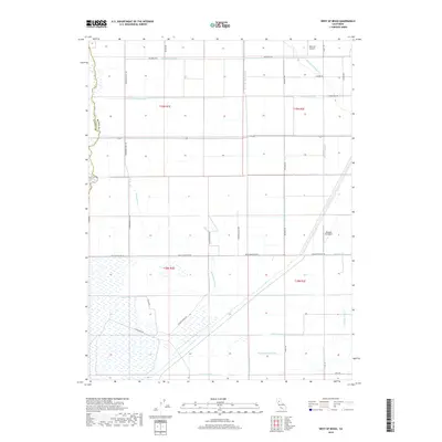
2018 Map of West of Biggs
USGS Topo · Published 2018About this map
Butte Creek defines the western edge of this agricultural landscape in Butte County, tracing the border with Glenn County. The terrain is characterized by an extensive network of water management features essential for local rice farming and irrigation, including the Watt Lateral, Bradford Lateral, and the Main Drainage Canal. The presence of small aviation facilities like Richvale Airport and Williams Ag Airport speaks to the region's reliance on aerial crop dusting and agricultural logistics.
Find a feature on this map
41 named features on this map. Tap any name to fly to it.
Don’t see what you’re looking for? This feature index may not catch every label — zoom into the map to look around manually.
Map Details
Editions of this 2018 West of Biggs Map
This is the sole edition of this map. No revisions or reprints were ever made.
Other maps of this area

1888 · Marysville
USGS Topo · 1:125,000

1891 · Chico
USGS Topo · 1:125,000

1891 · Marysville
USGS Topo · 1:125,000

1893 · Chico
USGS Topo · 1:125,000

1894 · Marysville
USGS Topo · 1:125,000

1895 · Marysville
USGS Topo · 1:125,000

1895 · Chico
USGS Topo · 1:125,000

1911 · Sanborn Slough
USGS Topo · 1:31,680

1911 · Landlow
USGS Topo · 1:31,680

1912 · Dry Creek
USGS Topo · 1:31,680