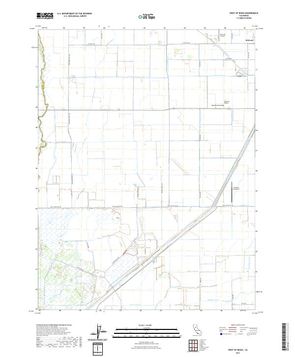
2021 Map of West of Biggs
USGS Topo · Published 2021About this map
The Sacramento Valley landscape south of Richvale is defined by a dense grid of irrigation infrastructure and agricultural development. The terrain is crisscrossed by an extensive network of artificial waterways, including the Cherokee Canal, the Main Drainage Canal, and numerous irrigation lines like the High Gravity Lateral and Bradford Lateral. These features support the industrial-scale farming operations that dominate this portion of the valley floor. Transportation and logistics are central to the area's layout, as evidenced by the Richvale Airport and Williams AG Airport, which serve the aerial needs of local agriculture. The road network, including the Richvale Hwy and Biggs Princeton Rd, follows a strict cardinal grid, connecting family-named agricultural sites such as Persons Ranch Rd and Schohr Ranch Rd. This 2021 survey illustrates the modern continuation of the region's historic identity as a hydraulic and agricultural powerhouse.
Find a feature on this map
44 named features on this map. Tap any name to fly to it.
Don’t see what you’re looking for? This feature index may not catch every label — zoom into the map to look around manually.
Map Details
Editions of this 2021 West of Biggs Map
This is the sole edition of this map. No revisions or reprints were ever made.
Other maps of this area

1888 · Marysville
USGS Topo · 1:125,000

1891 · Chico
USGS Topo · 1:125,000

1891 · Marysville
USGS Topo · 1:125,000

1893 · Chico
USGS Topo · 1:125,000

1894 · Marysville
USGS Topo · 1:125,000

1895 · Marysville
USGS Topo · 1:125,000

1895 · Chico
USGS Topo · 1:125,000

1911 · Sanborn Slough
USGS Topo · 1:31,680

1911 · Landlow
USGS Topo · 1:31,680

1912 · Dry Creek
USGS Topo · 1:31,680